
Keep reading
Nearby & related
Canary Islands
Blas Cabrera Felipe Monument: Honoring a Canary Islands Physics Pioneer
Visit the monument to Blas Cabrera Felipe, the influential Spanish physicist born in the Canary Islands, set amid…
15 November 2026
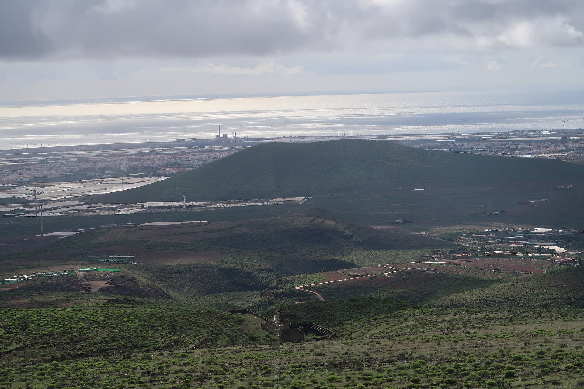
A rewarding climb through pine forests and rocky ridges to sweeping views across the island’s central highlands.
Masaciega rises as a distinctive volcanic peak in the rugged interior of Gran Canaria. Its slopes showcase the island’s dramatic geology, with steep basalt cliffs and scattered pine woodland that contrasts with the more famous coastal resorts. Hikers reach the summit for unobstructed panoramas that stretch from the northern cloud sea to the southern dunes and distant Tenerife on clear days.
Most visitors drive from Las Palmas or Maspalomas via the GC-60 or GC-150 roads, parking near the small hamlet of El Carrizal. From there a well-marked path climbs steadily through Canary pine forest. Public buses run to nearby villages, but they require an additional walk of several kilometres on quiet lanes. The final approach is entirely on foot; no vehicle access exists beyond the lower parking areas.
Winter and spring offer the mildest temperatures and clearest skies. Summer brings hotter, drier conditions and occasional haze from the Sahara. Early morning starts are essential year-round to avoid afternoon wind and to enjoy the soft light that illuminates the surrounding calderas.
The standard route to the summit is a there-and-back trail of moderate difficulty, gaining roughly 500 metres over four to five kilometres. Stronger walkers can link Masaciega with neighbouring ridges for longer loops that pass abandoned water channels and dramatic rock formations. Birdwatchers often spot laurel pigeons and Barbary falcons along the way. Photography is rewarding at the summit cairn, especially at sunrise when the island’s layered ridges catch the first light.
Lower slopes support dense stands of Canary pine interspersed with rockrose and broom. Higher up, the vegetation thins to hardy shrubs adapted to strong winds. The volcanic soil supports several endemic species found only in the central highlands, giving the area a distinct character compared with the laurel forests of the north-east.
After descending, many visitors continue to the Roque Nublo viewpoint or the historic village of Tejeda for traditional Canarian cuisine. The drive south leads to the Maspalomas dunes, while the northern route reaches the terraced valleys around Agaete.
Keep reading
Visit the monument to Blas Cabrera Felipe, the influential Spanish physicist born in the Canary Islands, set amid…
Most hikers allow three to four hours round-trip at a steady pace, including time for photos at the top.
The route is manageable for reasonably fit walkers with some mountain experience, but the final rocky section can feel exposed.
Only basic parking; no toilets, water points or cafu00e9s are available, so plan accordingly.
Wild camping is not permitted within the protected area; overnight stays require accommodation in nearby villages.
Expect to hear and possibly glimpse Canarian chiffchaffs, great spotted woodpeckers and, with luck, the endemic laurel pigeon.
Experience sweeping Atlantic vistas of La Gomera island from this elevated Tenerife lookout point.
This elevated viewpoint on La Palma offers unobstructed panoramas of volcanic ridges, deep barrancos, and the Atlantic…