
Keep reading
Nearby & related
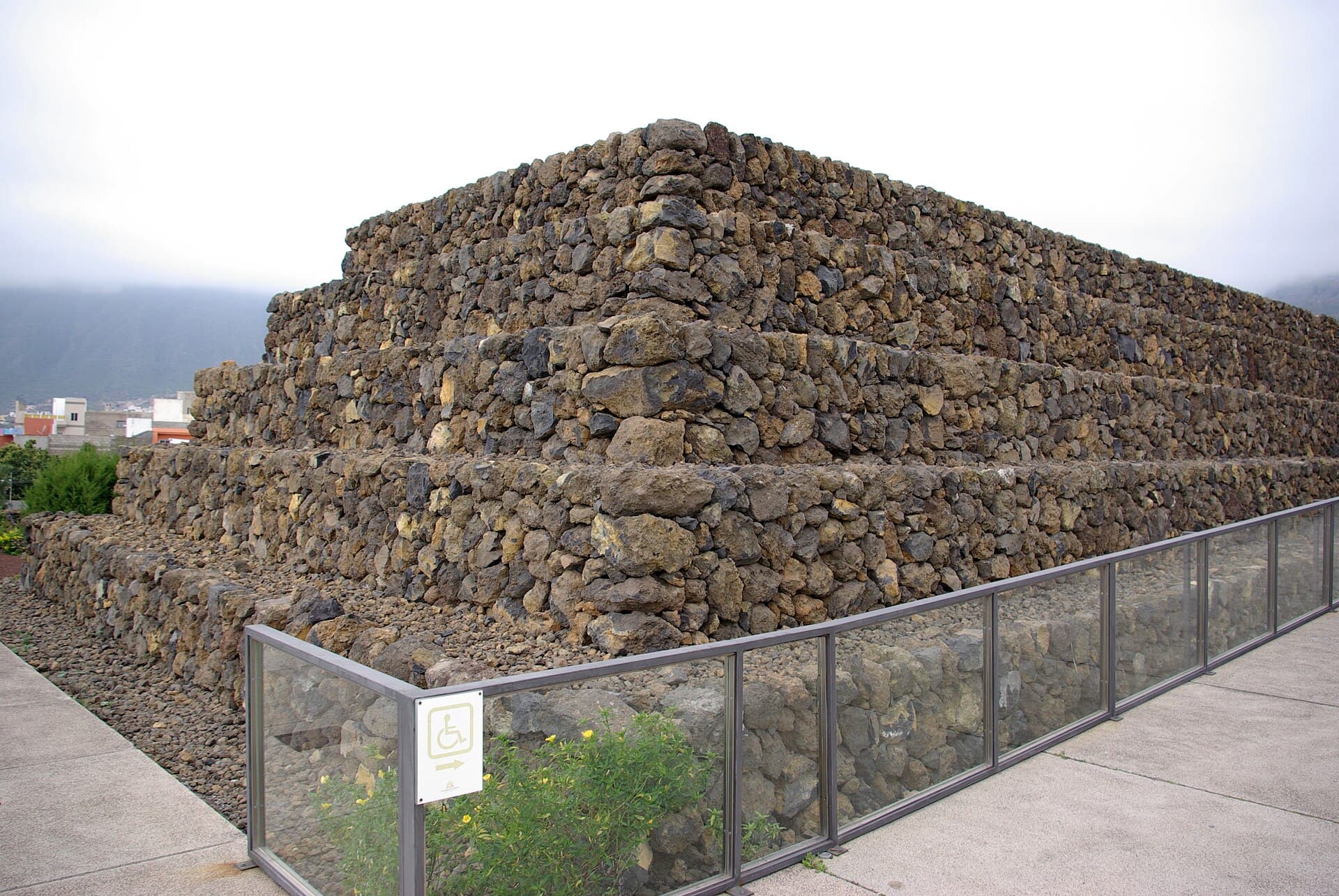
Pyramids of Güímar: Tenerife’s Stepped Structures and Enduring Mystery
Step into the enigmatic landscape of Güímar to examine ancient-looking terraces, volcanic scenery, and the legacy of…
8 November 2026
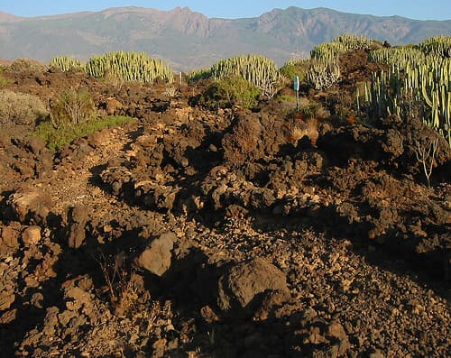
Wander the stark lava fields and endemic ecosystems of this protected natural monument in Güímar.
This protected area preserves a striking expanse of recent volcanic terrain on Tenerife’s southeast coast. Rough aa lava flows, scattered volcanic cones, and sparse but resilient vegetation create a landscape that feels both lunar and alive. Hikers gain direct contact with the island’s geological story without the crowds found at Teide National Park.
The main loop trail begins at the lower parking area and climbs gently across solidified lava toward Montaña de la Horca. Along the way you pass collapsed lava tubes, small hornitos, and patches of Canary Island spurge and tabaiba. A shorter spur leads to a viewpoint overlooking the Güímar valley and the Atlantic. The full circuit takes roughly two hours at a moderate pace; the terrain is uneven but requires no technical skill.
Look for the endemic Güímar thistle and the blue-flowered Echium, both adapted to the arid, nutrient-poor ground. Birdwatchers may spot Barbary falcons hunting over the open ground and the occasional Berthelot’s pipit. The area is also a refuge for several lizard species that thrive among the rocks.
Drive the TF-1 motorway to the Güímar exit, then follow signs for the Malpaís along the TF-28. A signed parking area sits at the trailhead. Public buses from Santa Cruz de Tenerife stop in Güímar town; from there it is a 25-minute walk to the entrance. No shuttle service operates inside the protected zone.
November through April offers the mildest temperatures and clearest skies. Summer visits are possible but require an early start to avoid midday heat reflected off the dark lava. After rain the lava surfaces can become slippery, so check recent weather before setting out.
Combine the hike with a visit to the Pirámides de Güímar archaeological park, a short drive north. The coastal town of Güímar itself provides restaurants serving fresh fish and local wines. Further afield, the beaches of El Médano lie 20 minutes south by car.
Trails are rated easy to moderate; the main loop is mostly flat with one gentle climb. Good balance is needed on the uneven lava surface.
Children accustomed to short hikes manage the route well. Dogs are allowed but must remain on a leash at all times to protect wildlife.
Entry is free. No staffed visitor center exists; interpretive panels at the trailhead provide basic information.
Local operators in Gu00fcu00edmar occasionally run small-group geology walks; check with the Gu00fcu00edmar tourist office for current schedules.
Mobile coverage is good on the open lava plain. Download an offline map before starting and stay within sight of the marked cairns.
Keep reading
Step into the enigmatic landscape of Güímar to examine ancient-looking terraces, volcanic scenery, and the legacy of…