
Skip to content
Plan & Tour
DestinationsItinerariesTravel BlogAboutContact
0Sign inPlan a trip
Plan & TourPlan & Tour

Travel guides, destination inspiration and curated itineraries for Canada, the USA and beyond, plus a free tool to plan your own day-by-day trip.

Get travel inspiration

Explore

  • All Destinations
  • Curated Itineraries
  • Travel Blog
  • Plan a Trip

Topics

  • Hiking & Nature
  • Food & Drink
  • City Breaks
  • Budget Travel

Company

  • About Us
  • Contact
  • Privacy Policy
  • Terms of Service

© 2026 Plan & Tour. Built for travellers.

Discover the world, one trip at a time.

La Talaia Freda: Hiking Mallorca’s Quiet Eastern Summit
  1. Home
  2. Destinations
  3. Balearic Islands
  4. La Talaia Freda: Hiking Mallorca’s Quiet Eastern Summit
Mountain

La Talaia Freda: Hiking Mallorca’s Quiet Eastern Summit

A straightforward ascent to sweeping views across northeastern Mallorca’s coastline and countryside.

Balearic IslandsUpdated 21 September 2026

Why La Talaia Freda Stands Out

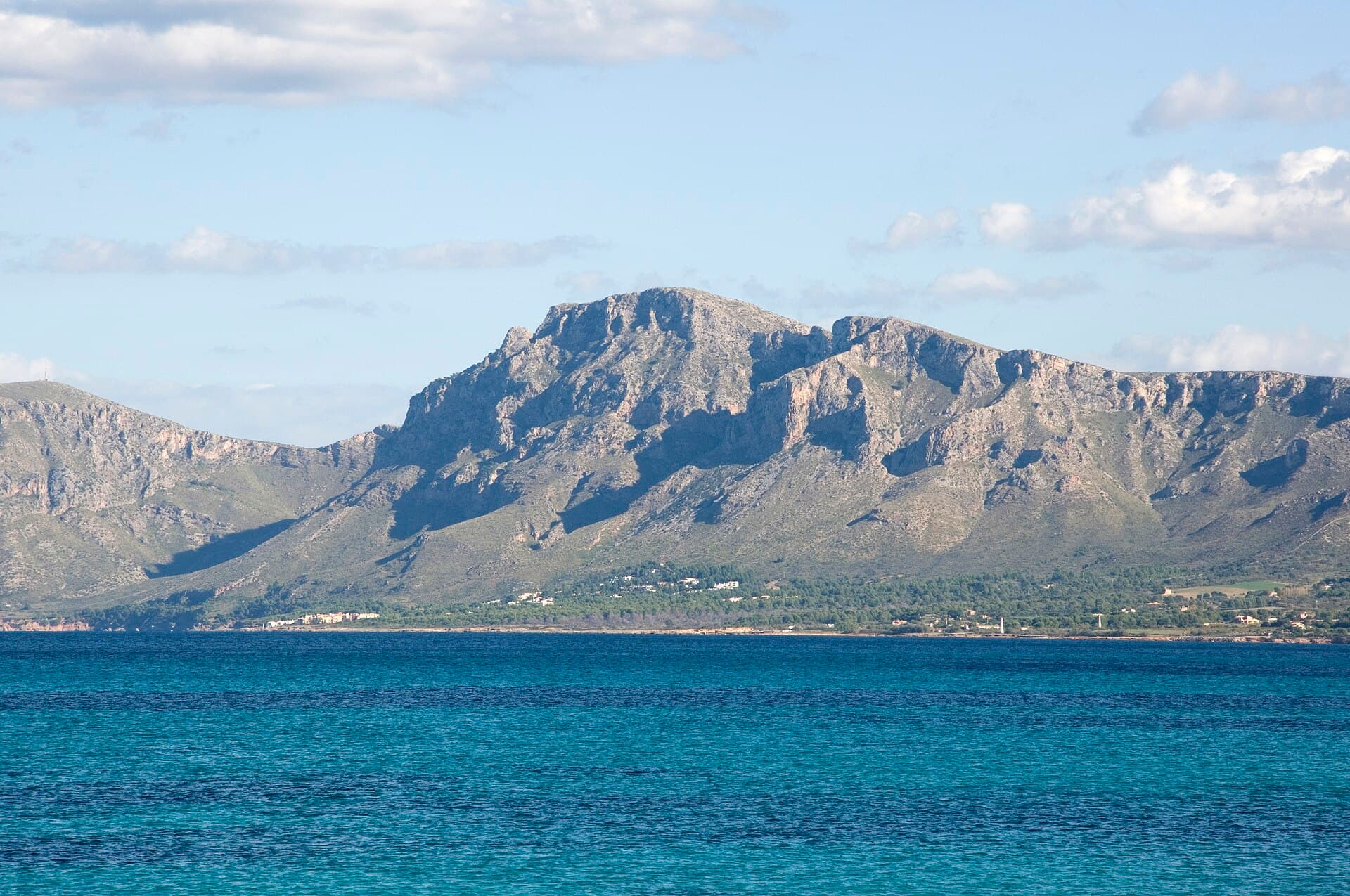
La Talaia Freda rises as a modest but rewarding summit in eastern Mallorca, offering hikers an uncrowded alternative to the busier trails of the Serra de Tramuntana. Its gentle slopes and open terrain provide clear panoramas of the Mediterranean, the bays near Capdepera, and the agricultural plains that stretch toward Artà. The mountain’s isolation keeps visitor numbers low, making it ideal for those seeking quiet observation of local flora such as wild rosemary and Aleppo pine.

How to Reach the Trailhead

Drivers approach from the Ma-15 road between Artà and Capdepera, turning onto a signed minor road that leads to a small parking area near the base. Public transport users can take the bus to nearby villages and add a longer walk along quiet lanes. The final approach is on foot; no shuttle services operate to the summit.

Best Time to Visit

Spring (March to May) and autumn (September to November) deliver mild temperatures and blooming or fruiting vegetation. Summer brings intense sun and little shade, while winter can be windy yet clear for long-distance views. Early morning starts avoid midday heat and allow time to linger at the top.

The Hike and What to Expect

The main route follows a well-defined path that gains elevation steadily through terraced fields and scrubland. After roughly an hour, the trail opens onto a broad ridge with 360-degree vistas. The summit itself is marked by a modest cairn and offers unobstructed sightlines to the sea and distant peaks. Return by the same path or extend the walk along connecting tracks toward neighboring hills for a longer circuit.

Nearby Attractions

  • The historic center of Artà with its hilltop sanctuary
  • The coastal watchtower at Capdepera
  • Quiet coves and pine-backed beaches along the northeast shore

These sites combine easily with a morning on La Talaia Freda for a full day of varied exploration without retracing steps.

Visitor tips

  • Carry at least two liters of water per person; no reliable springs exist on the route.
  • Wear sturdy shoes with good grip, as limestone sections can be slippery when damp.
  • Check the local wind forecast before setting out, as exposed ridges amplify gusts.

Frequently asked questions

How difficult is the hike to La Talaia Freda?+

The trail is moderate, with steady elevation gain but no technical sections or exposure. Most fit walkers complete the round trip in two to three hours.

Are dogs allowed on the mountain?+

Dogs are permitted if kept under control and on a lead near livestock; owners must remove waste.

Is there any shade or water along the way?+

Shade is minimal once the path leaves the lower terraces; carry all required water.

Can I combine the hike with a visit to Capdepera castle?+

Yes, the castle lies a short drive or longer cycle from the trailhead and makes a logical pairing for a half-day outing.

What should I bring besides water and shoes?+

Sun protection, a light wind jacket, and a map or GPS track are recommended; phone coverage is patchy on the upper slopes.

Share
Google Maps Apple Maps Directions

Image: Der Barbar · CC BY-SA 4.0 · via Wikimedia Commons

Keep reading

Nearby & related
All stories
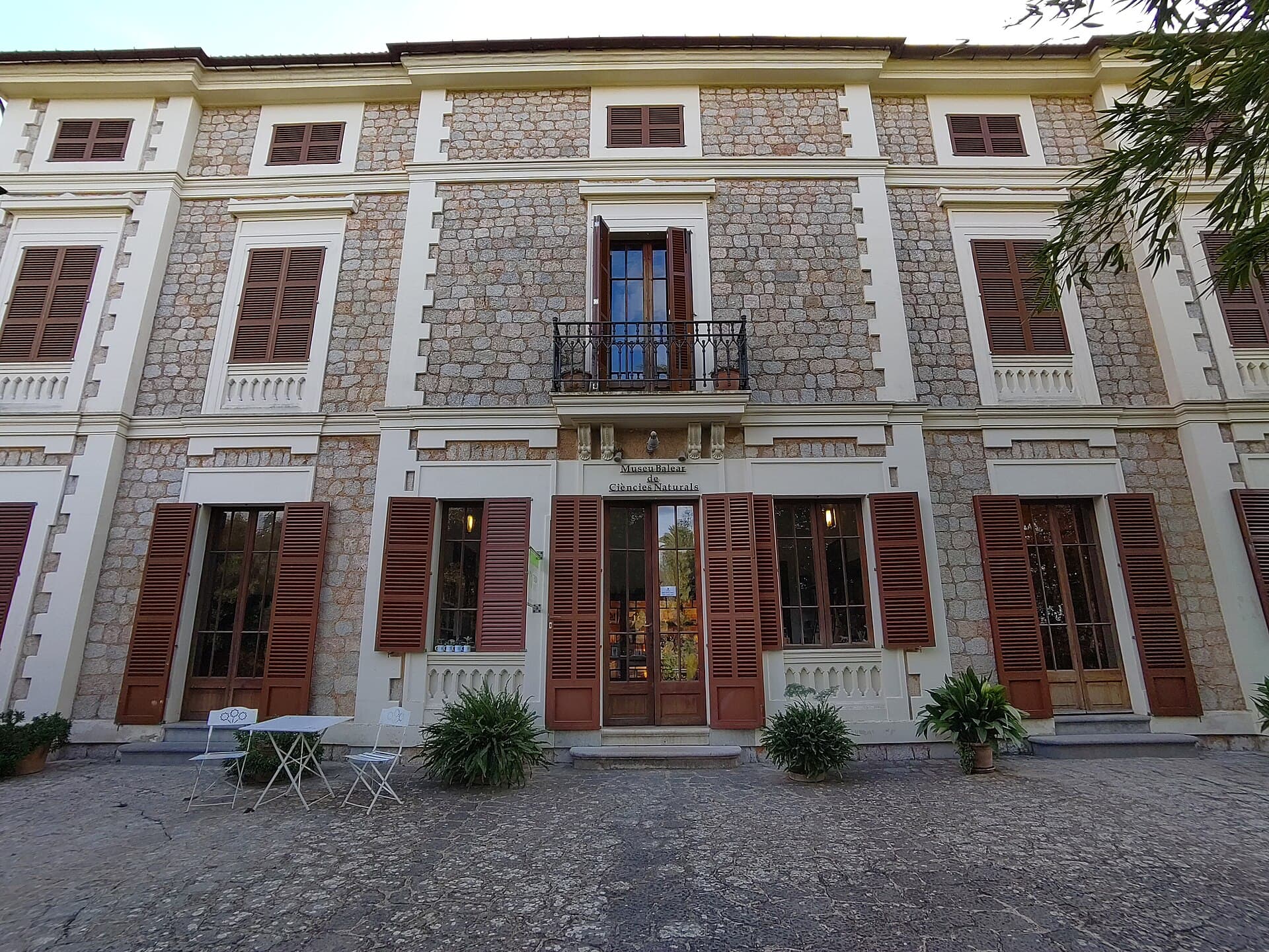
Museu Balear de Ciències Naturals: Mallorca’s Window into Balearic Biodiversity
Balearic Islands

Museu Balear de Ciències Naturals: Mallorca’s Window into Balearic Biodiversity

Explore the islands’ geology, endemic plants, and wildlife at this focused natural-history museum in Sóller.

21 September 2026
El Fumat: Hiking Menorca’s Dramatic Northern Peak
Balearic Islands

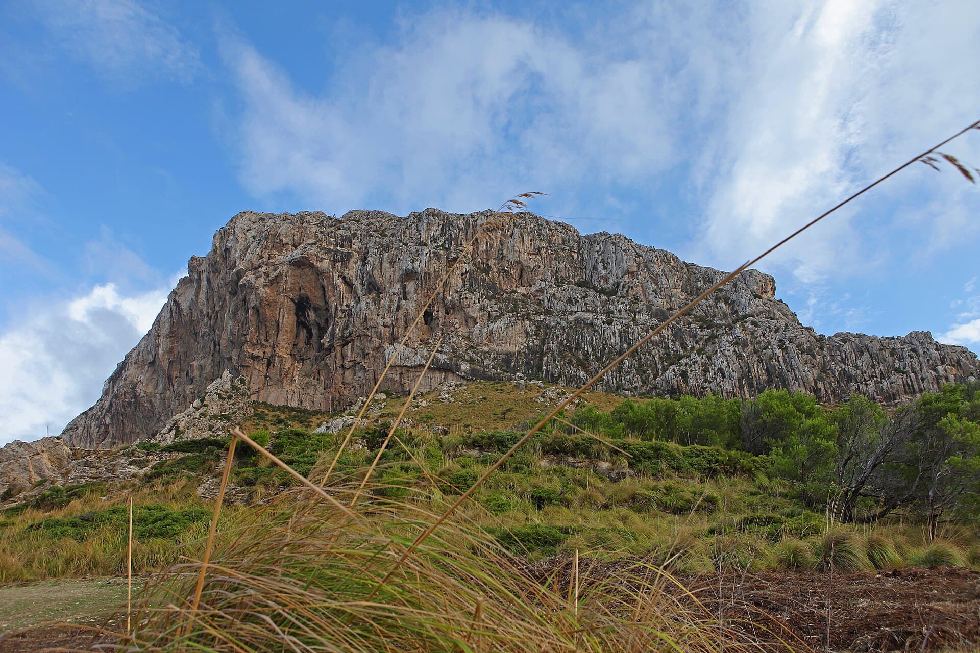
El Fumat: Hiking Menorca’s Dramatic Northern Peak

Scale the rugged summit of El Fumat for sweeping coastal views across Menorca’s wild north.

21 September 2026
Es Telègraf: Hiking Menorca’s Eastern Summit for Island-Wide Views
Balearic Islands

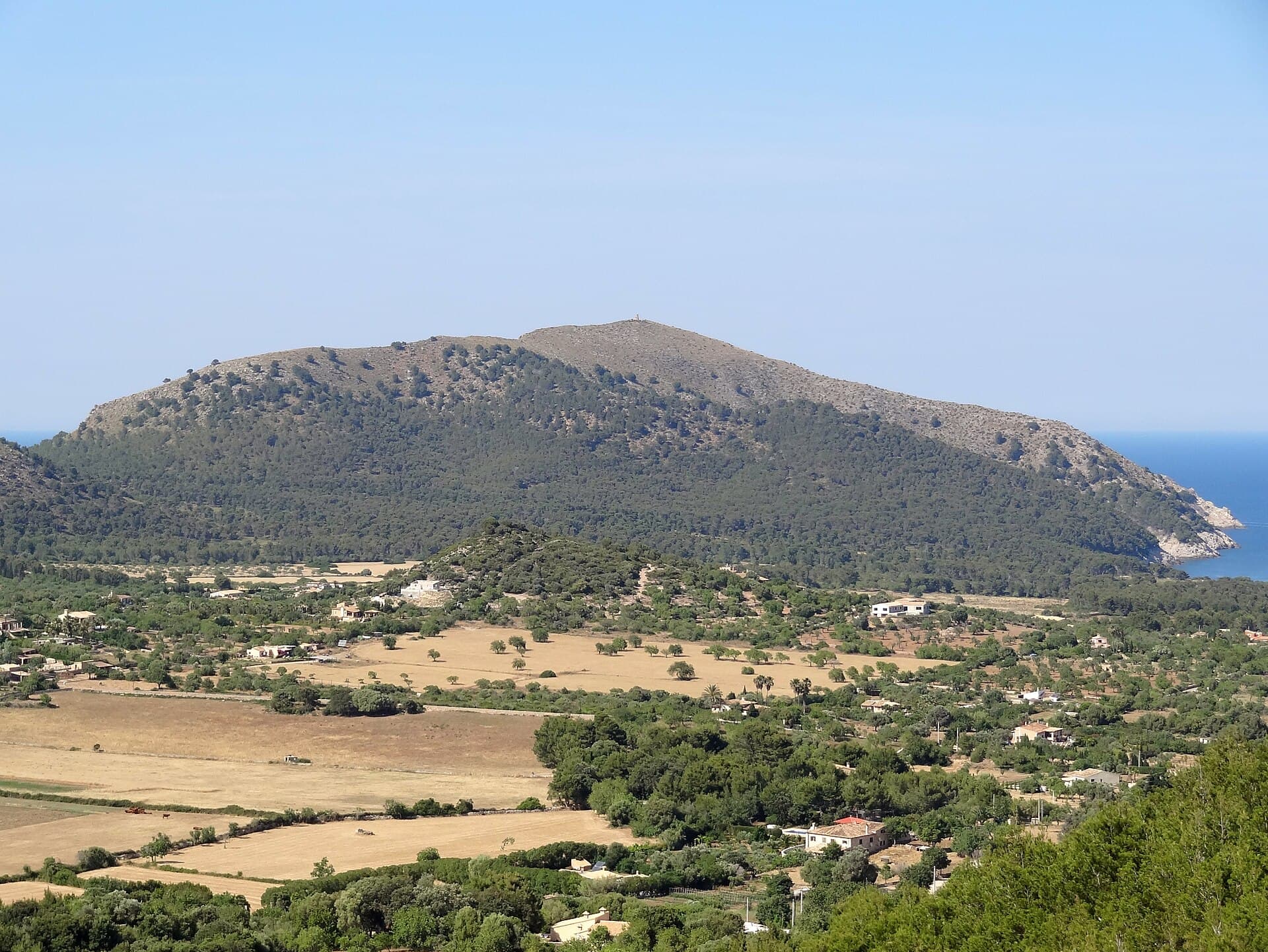
Es Telègraf: Hiking Menorca’s Eastern Summit for Island-Wide Views

A rewarding climb to the highest point in eastern Menorca offering sweeping coastal and countryside panoramas.

21 September 2026