
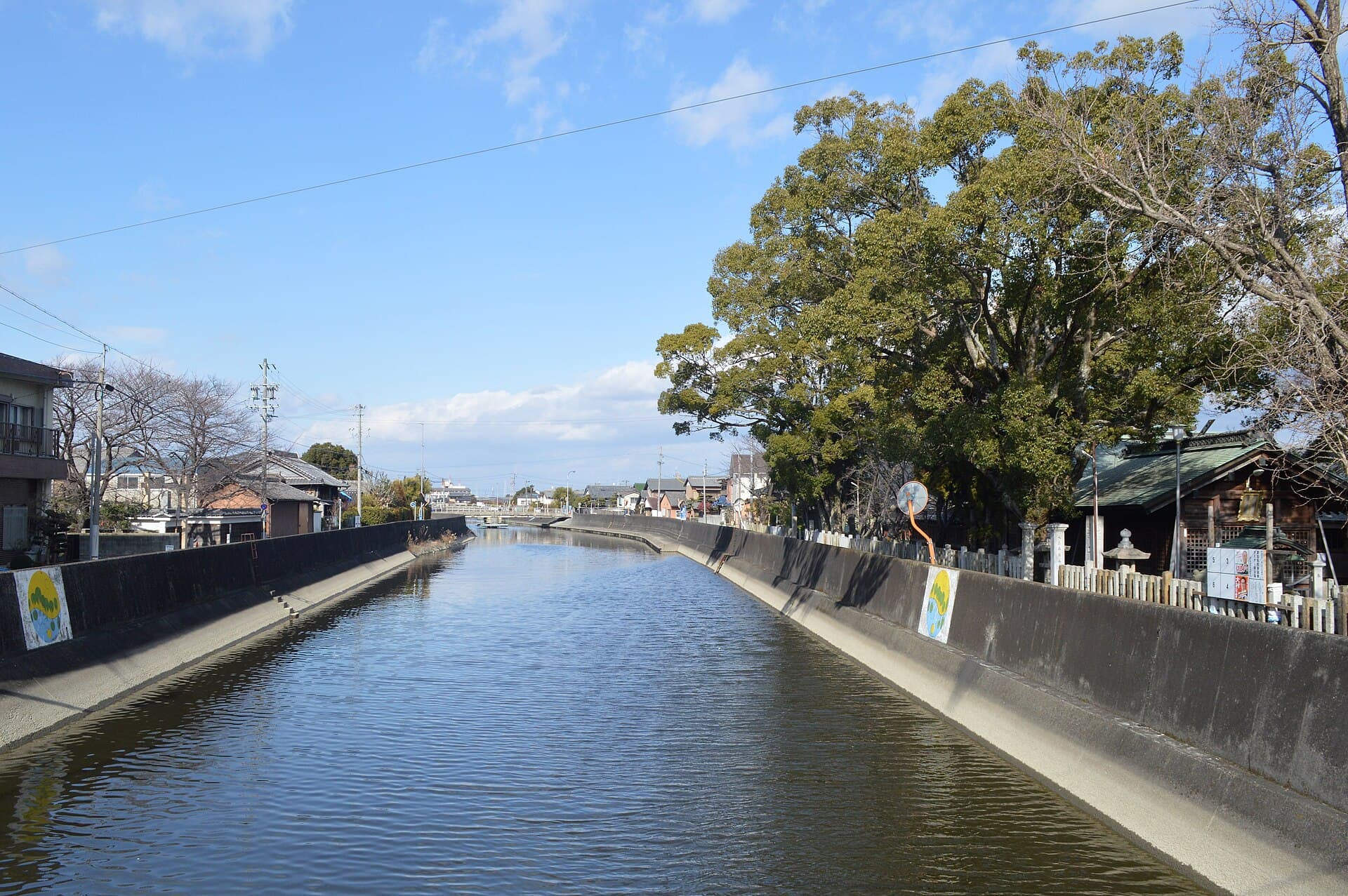
Kanie River: A Peaceful Riverside Escape in Ama, Aichi
Wander the calm banks of the Kanie River for quiet scenery, local walks, and easy access from Nagoya.
Why Visit the Kanie River
The Kanie River flows gently through Ama in Aichi Prefecture, offering a quiet contrast to the nearby bustle of Nagoya. Its tree-lined banks provide space for walking, cycling, and simple riverside relaxation without crowds. The river reflects the everyday life of the region, with views of local fields, modest bridges, and seasonal foliage that changes from cherry blossoms in spring to vivid autumn colors.
What to See and Do
Stroll or cycle the paths along both sides of the river for views of waterfowl and reflections of the sky. Early morning or late afternoon light highlights the gentle current and surrounding greenery. In season, cherry trees draw locals for hanami picnics under the blossoms. Further along, small parks offer benches and open grass for reading or resting. Photographers appreciate the simple compositions of bridges against the river and distant hills.
Seasonal Highlights
- Spring brings delicate pink petals floating on the water.
- Summer offers cooler breezes along the open banks.
- Autumn features golden and red leaves that mirror in calm stretches.
- Winter reveals clearer sightlines and occasional frost on the vegetation.
Getting There
Ama lies west of central Nagoya, making the Kanie River reachable by train to nearby stations on the Meitetsu line followed by a short walk or local bus. Cyclists can follow riverside routes from Nagoya or surrounding towns. The area suits day trips; combine a visit with other Aichi sights for a full itinerary.
Best Time to Visit
Late March through early April showcases cherry blossoms, while October and November deliver comfortable temperatures and colorful foliage. Weekday mornings avoid any local foot traffic. The river remains pleasant year-round, though summer humidity calls for light clothing and plenty of water.
Nearby Attractions
After time on the river, explore Ama’s local shrines or head toward the coast for seafood markets. Nagoya’s urban attractions, including its castle and museums, lie a short train ride east, allowing visitors to balance nature with city culture in one outing.
Visitor tips
- Wear comfortable walking shoes, as the paths are mostly flat but can be long.
- Carry a reusable water bottle and light snacks, since riverside facilities are minimal.
- Visit on weekdays for quieter conditions and better chances of spotting wildlife.
- Check local weather before heading out, as riverbanks can become slippery after rain.
Frequently asked questions
Is the Kanie River suitable for families with children?
Yes, the flat riverside paths are easy for walking with kids, and open areas allow for picnics and play.
Can I swim or boat on the Kanie River?
Swimming is not recommended due to currents and local regulations; small non-motorized boats may be possible in designated sections with permission.
Are there restrooms or vending machines near the river?
Facilities are limited along the banks, so plan to use services at nearby stations or parks before or after your visit.
How long does a typical visit take?
Most visitors spend one to three hours walking a section of the river, though longer cycling trips are possible.
Is the area accessible for wheelchairs or strollers?
Main paths are generally level and paved in places, but some side trails may have uneven surfaces or steps.