Skip to content
Plan & Tour
DestinationsItinerariesTravel BlogAboutContact
0Sign inPlan a trip
Plan & TourPlan & Tour

Travel guides, destination inspiration and curated itineraries for Canada, the USA and beyond, plus a free tool to plan your own day-by-day trip.

Get travel inspiration

Explore

  • All Destinations
  • Curated Itineraries
  • Travel Blog
  • Plan a Trip

Topics

  • Hiking & Nature
  • Food & Drink
  • City Breaks
  • Budget Travel

Company

  • About Us
  • Contact
  • Privacy Policy
  • Terms of Service

© 2026 Plan & Tour. Built for travellers.

Discover the world, one trip at a time.

Famara: Hiking Lanzarote’s Rugged Volcanic Cliffs
  1. Home
  2. Destinations
  3. Teguise
  4. Famara: Hiking Lanzarote’s Rugged Volcanic Cliffs
Mountain

Famara: Hiking Lanzarote’s Rugged Volcanic Cliffs

Scale the dramatic Famara massif above Teguise for sweeping Atlantic views and wild coastal hiking.

TeguiseUpdated 10 November 2026

Why Famara Mountain Stands Out

Famara rises as the northernmost massif of Lanzarote, a stark volcanic ridge that drops straight into the Atlantic. Its steep basalt cliffs and lava fields create a raw, windswept landscape that feels far removed from the island’s busier resorts. Hikers come for the sense of scale: endless ocean horizons, the distant outline of La Graciosa, and the quiet isolation of high plateaus where only goats and raptors appear.

Trails and Viewpoints

The most rewarding route starts near the village of Famara and climbs the old goat paths to the rim of the Risco de Famara. From the crest you look down onto the long sandy arc of Famara Beach and the surf that rolls in from the northwest. Continue along the ridge toward Mirador del Risco for a 360-degree panorama that includes the volcanoes of Timanfaya to the south. Shorter loops stay on the plateau, passing abandoned stone corrals and fields of lichen-covered lava. Bring binoculars; this is prime territory for watching Eleonora’s falcons in autumn.

Getting There and Around

Drive the LZ-201 from Teguise or the LZ-213 from Caleta de Famara; both roads end at trailheads with room for a few cars. No regular bus service reaches the upper slopes, so a rental car or taxi from Teguise is the practical option. Once on foot, trails are unsigned; a downloaded map or GPS track is essential because mobile coverage fades quickly.

Best Time to Visit

Winter and spring bring cooler temperatures and fewer days of strong trade winds, making the exposed ridges comfortable. Summer hikes start before dawn to avoid midday heat and the stronger afternoon gusts. After heavy rain the lava can become slippery, so check forecasts and avoid the cliffs in stormy weather.

Nearby Places Worth Exploring

Combine a morning on Famara with the historic town of Teguise, just 15 minutes south, or continue north to the dunes and beaches of Caleta de Famara. The protected marine reserve around La Graciosa offers boat trips visible from the ridge, while the volcanic cones of Parque Natural de Los Volcanes lie an easy drive inland.

Visitor tips

  • Wear windproof layers and sturdy boots; the ridge offers little shelter once you leave the trailhead.
  • Carry at least two litres of water per personu2014there are no springs or facilities on the plateau.
  • Start early to avoid the strongest winds that typically pick up after midday.

Frequently asked questions

How difficult is the hike up Famara Mountain?+

The main ascent is steep but short; most fit walkers reach the rim in 45u201360 minutes. The ridge walk beyond is flatter but exposed.

Are there any facilities at the trailheads?+

No toilets, water points or cafu00e9s exist on the upper slopes. Bring everything you need and leave no trace.

Can I reach Famara by public transport?+

Buses stop in Teguise or at the beach village below, but none continue to the mountain trailheads, so arrange private transport.

Is Famara safe for children?+

The lower paths near the village are suitable for older children with supervision; the cliff edges are unfenced and windy, so assess carefully.

What wildlife might I see?+

Look for Barbary falcons, ravens and, in season, passing shearwaters over the sea; lizards and feral goats are common on the lava.

Share
Google Maps Apple Maps Directions

Image: Dguendel · CC BY 3.0 · via Wikimedia Commons

Keep reading

Nearby & related

All stories
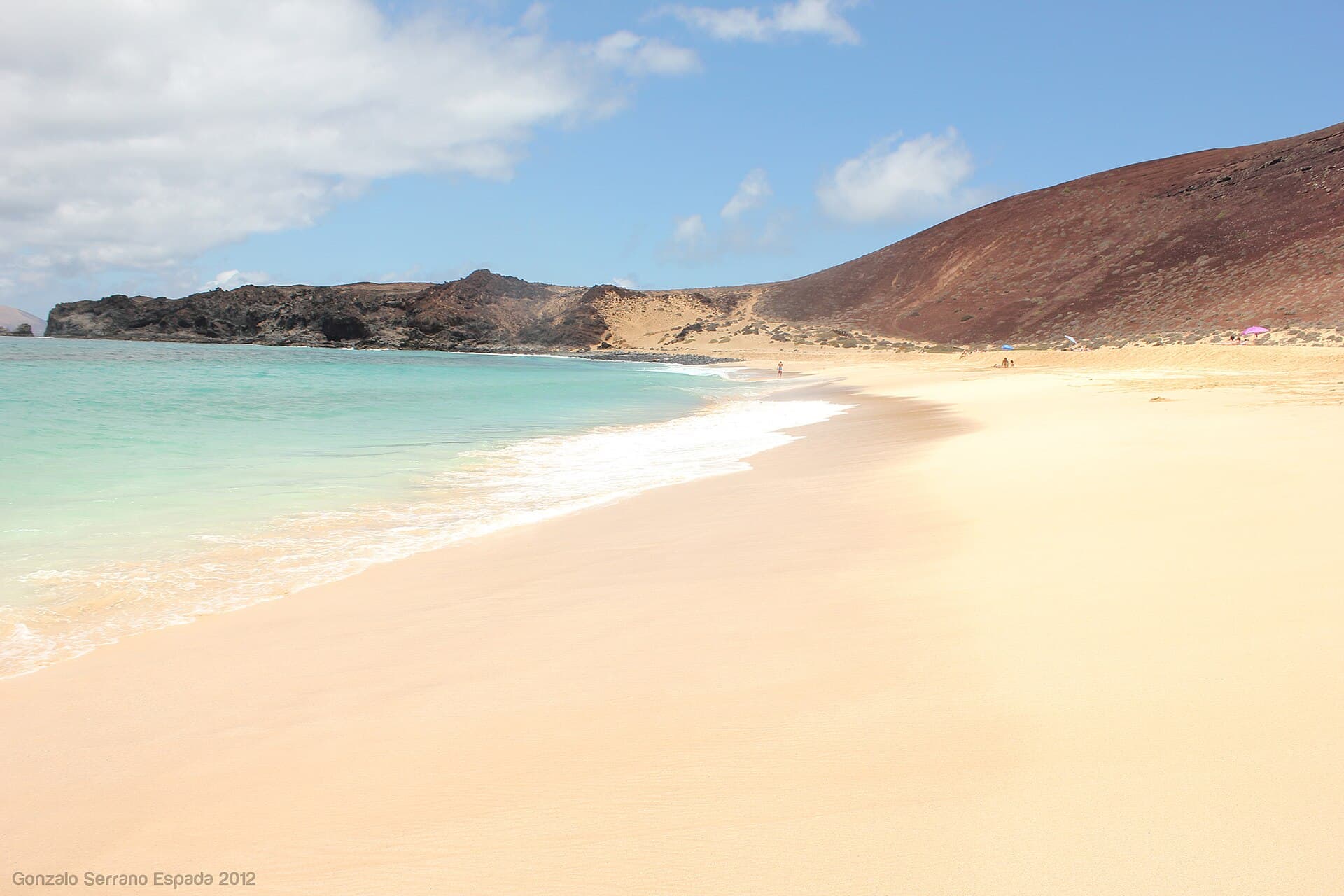
Playa de las Conchas: Lanzarote’s Wild Shell-Strewn Beach on La Graciosa
Teguise

Playa de las Conchas: Lanzarote’s Wild Shell-Strewn Beach on La Graciosa

A remote stretch of pale sand and turquoise water on the tiny island of La Graciosa, perfect for those seeking quiet…

12 November 2026
Fortress of Saint Barbara: Lanzarote’s Historic Hilltop Castle in Teguise
Teguise

Fortress of Saint Barbara: Lanzarote’s Historic Hilltop Castle in Teguise

Perched on the volcanic cone of Guanapay, the Fortress of Saint Barbara reveals centuries of island defense and sweeping…

10 November 2026
Graciosa: Canary Islands’ Quiet Volcanic Escape
Teguise

Graciosa: Canary Islands’ Quiet Volcanic Escape

Explore the rugged trails, empty beaches and tiny fishing villages of this low-key island off Lanzarote.

31 October 2026