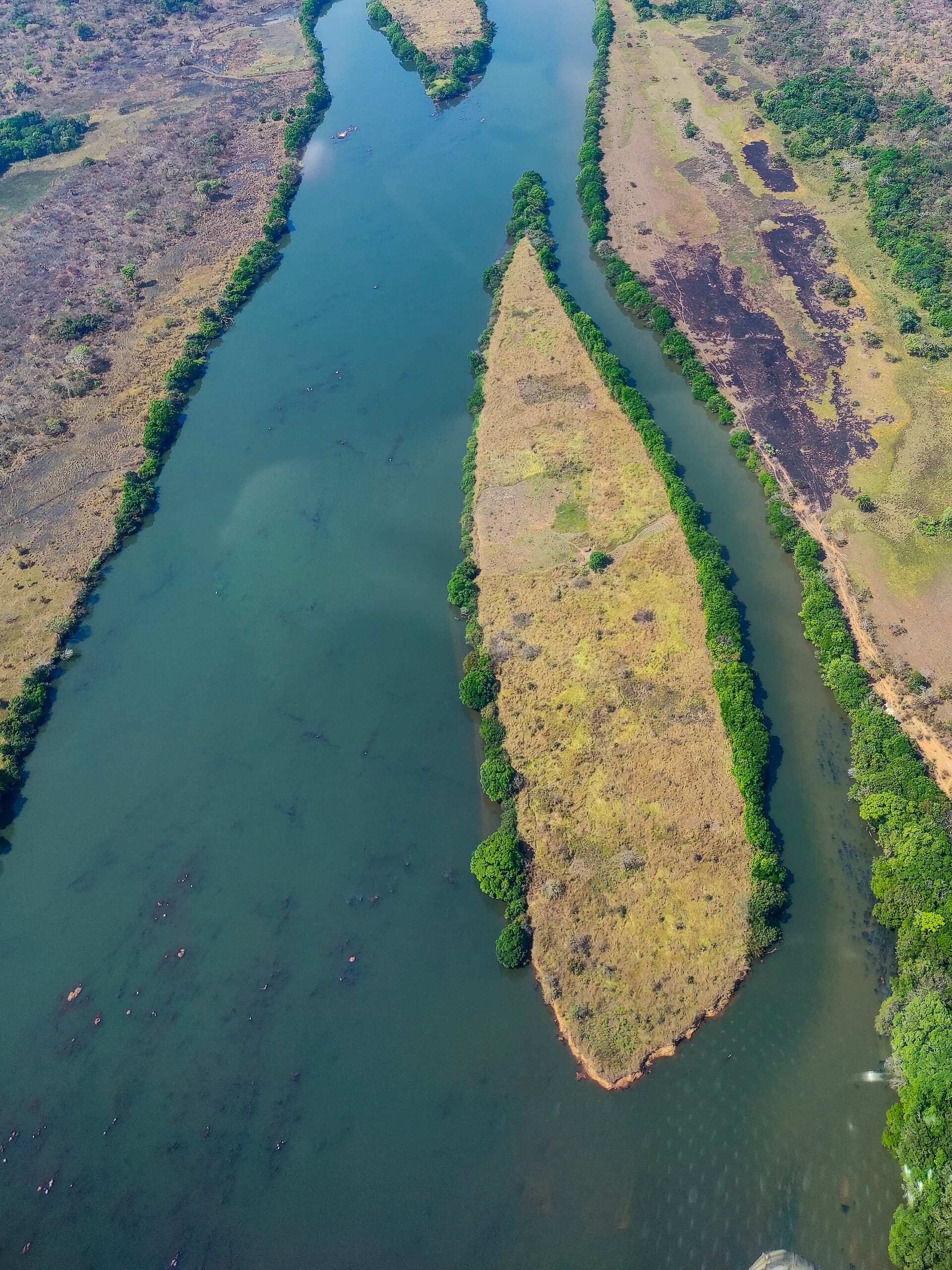
Why the Djérem River Stands Out
The Djérem River cuts through the Adamawa region, carving a path between grassy plateaus and gallery forests. Its clear waters and rocky banks create a landscape distinct from the busier southern rivers of Cameroon, offering visitors a sense of remoteness without extreme isolation.
What to See and Do
Boat excursions reveal sandy beaches and occasional hippo pods, especially in wider stretches. Local fishermen use traditional pirogues, and travelers can join short outings to observe their techniques or try casting for tilapia and catfish. Birdlife includes kingfishers, herons, and hornbills along the banks. Short hikes from riverside villages lead to viewpoints overlooking the valley, while the surrounding savanna supports antelope and occasional primate sightings at the forest edge.
Practical Activities
- Half-day canoe trips with a local paddler to reach quieter pools.
- Picnics on flat rock outcrops that stay cool in the shade of fig trees.
- Photography sessions at sunrise when mist lingers over the water.
How to Reach the Djérem
Most visitors arrive via Ngaoundéré, the regional hub with rail and road connections from Yaoundé. From there, shared taxis or rented vehicles head east along the main highway toward Tibati, turning off onto dirt tracks that reach riverside communities in two to three hours. Four-wheel-drive vehicles handle the final stretches best during the wet season.
Best Time to Visit
The dry months from November through March bring lower water levels and clearer access to beaches and trails. The rainy season from April to October swells the river and greens the landscape but can make approach roads muddy and limit boat movement.
Nearby Places Worth Combining
The river lies near the northern edge of Mbam et Djerem National Park, allowing multi-day itineraries that mix river time with park wildlife drives. Further afield, the cooler highlands around Ngaoundéré offer markets and crater lakes for contrast after days on the water.