Skip to content
Plan & Tour
DestinationsItinerariesTravel BlogAboutContact
0Sign inPlan a trip
Plan & TourPlan & Tour

Travel guides, destination inspiration and curated itineraries for Canada, the USA and beyond, plus a free tool to plan your own day-by-day trip.

Get travel inspiration

Explore

  • All Destinations
  • Curated Itineraries
  • Travel Blog
  • Plan a Trip

Topics

  • Hiking & Nature
  • Food & Drink
  • City Breaks
  • Budget Travel

Company

  • About Us
  • Contact
  • Privacy Policy
  • Terms of Service

© 2026 Plan & Tour. Built for travellers.

Discover the world, one trip at a time.

Ch’uch’u: Trekking Bolivia’s Rugged Andean Summit Near La Paz
  1. Home
  2. Destinations
  3. La Paz Department
  4. Ch’uch’u: Trekking Bolivia’s Rugged Andean Summit Near La Paz
Mountain

Ch’uch’u: Trekking Bolivia’s Rugged Andean Summit Near La Paz

Explore the dramatic high-altitude trails, sweeping Cordillera views, and Aymara heritage surrounding Ch'uch'u mountain.

La Paz DepartmentUpdated 12 October 2026

Why Ch’uch’u Stands Out

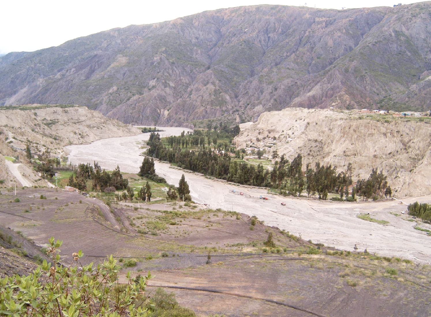
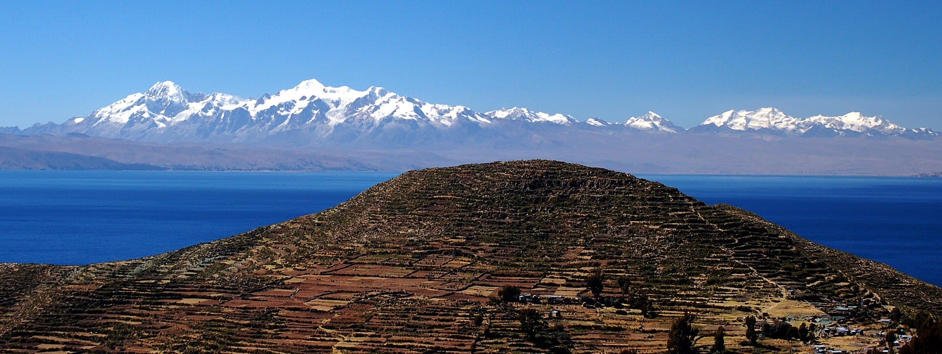
Ch’uch’u rises sharply from the high plateau of La Paz Department, offering hikers an accessible yet challenging Andean experience without the crowds that surround more famous peaks like Illimani. Its slopes reveal layered rock formations, occasional glacial remnants, and sweeping vistas across the Cordillera Real toward Lake Titicaca on clear days. The mountain sits within traditional Aymara territory, where travelers can glimpse stone corrals, quinoa fields, and small communities that maintain centuries-old herding practices.

Getting There

Most visitors start from La Paz, taking a minibus or shared taxi toward the town of Achacachi or Sorata, then continuing by local transport or arranged vehicle along unpaved roads to trailheads on the mountain’s western flanks. The journey typically passes through high puna grasslands and small villages, giving a gradual introduction to the altitude. Four-wheel-drive vehicles are recommended for the final stretches, especially after rain.

Best Time to Visit

The dry season from May to October brings the most stable weather, with clear mornings ideal for summit attempts and minimal risk of afternoon thunderstorms. November through April sees more frequent rain and snow at elevation, though the landscape turns greener and wildflowers appear. Early morning starts are essential year-round to avoid strong winds that often develop by midday.

Activities on the Mountain

Popular routes include a full-day ascent from base camps at around 4,500 meters, following faint herder paths through rocky gullies to the summit ridge. The hike rewards with 360-degree panoramas of neighboring peaks and the distant Altiplano. Photographers favor the golden-hour light on the reddish rock faces, while birders may spot Andean condors and vicuñas. Multi-day treks can link Ch’uch’u with nearby valleys for a deeper immersion in the range.

Nearby Attractions

After descending, many travelers continue to the colonial town of Sorata for rest and local cuisine, or head toward the shores of Lake Titicaca for cultural visits to Isla del Sol. The region also offers shorter acclimatization hikes around nearby passes and hot springs in the foothills.

Practical Considerations

Altitude above 5,000 meters requires prior acclimatization in La Paz. Carry sufficient water, as natural sources are scarce on the upper slopes. Local guides from nearby communities provide valuable route knowledge and support the regional economy.

Visitor tips

  • Spend at least two nights in La Paz before attempting the ascent to reduce altitude sickness risk.
  • Hire a local Aymara guide through community tourism networks rather than attempting unmarked routes alone.
  • Pack layers for rapid temperature drops and bring a headlamp for pre-dawn starts common on summit day.

Frequently asked questions

How difficult is the hike up Ch'uch'u?+

The ascent involves steep, rocky terrain and requires good fitness and prior acclimatization; it is best suited to experienced hikers rather than beginners.

Do I need a guide to climb Ch'uch'u?+

While not strictly mandatory on established routes, hiring a local guide is strongly recommended for navigation, safety, and cultural insight in this remote area.

What is the elevation of Ch'uch'u?+

The summit sits well above 5,000 meters, with trailheads starting around 4,300u20134,500 meters, making altitude preparation essential.

Are there facilities or lodging near Ch'uch'u?+

No permanent facilities exist on the mountain itself; visitors typically base in La Paz, Sorata, or small villages and carry all supplies for day or overnight trips.

Can I combine Ch'uch'u with a visit to Lake Titicaca?+

Yes, many travelers visit both on the same trip, using Achacachi as a transit point between the mountain trails and the lake's southern shore.

Share
Google Maps Apple Maps Directions

Image: Christopher Walker from Krakow, Poland · CC BY 2.0 · via Wikimedia Commons

Keep reading

Nearby & related

All stories
La Paz River: Rafting and Canyon Adventures in Bolivia
La Paz Department

La Paz River: Rafting and Canyon Adventures in Bolivia

Follow the La Paz River through Andean canyons from the highlands into the Yungas for rafting, scenery, and cultural…

13 October 2026
L
La Paz Department

Leque River: Bolivia’s Andean Waterway in La Paz Department

Follow the clear waters of the Leque River through rugged valleys and quiet Aymara communities in Bolivia’s La Paz…

13 October 2026
B
La Paz Department

Boopi River: Bolivia’s Wild Waterway in La Paz Department

A biodiverse river valley offering jungle hikes, wildlife viewing, and authentic Amazonian experiences near La Paz.

13 October 2026