Skip to content
Plan & Tour
DestinationsItinerariesTravel BlogAboutContact
0Sign inPlan a trip
Plan & TourPlan & Tour

Travel guides, destination inspiration and curated itineraries for Canada, the USA and beyond, plus a free tool to plan your own day-by-day trip.

Get travel inspiration

Explore

  • All Destinations
  • Curated Itineraries
  • Travel Blog
  • Plan a Trip

Topics

  • Hiking & Nature
  • Food & Drink
  • City Breaks
  • Budget Travel

Company

  • About Us
  • Contact
  • Privacy Policy
  • Terms of Service

© 2026 Plan & Tour. Built for travellers.

Discover the world, one trip at a time.

Ch’iyar Juqhu: Trekking Bolivia’s Striking Black Peak in the Cordillera Real
  1. Home
  2. Destinations
  3. La Paz Department
  4. Ch’iyar Juqhu: Trekking Bolivia’s Striking Black Peak in the Cordillera Real
Mountain

Ch’iyar Juqhu: Trekking Bolivia’s Striking Black Peak in the Cordillera Real

Experience the dramatic high-altitude landscapes and Aymara cultural roots of this 5,539-meter Andean summit near La Paz.

La Paz DepartmentUpdated 11 October 2026

Why Ch’iyar Juqhu Stands Out

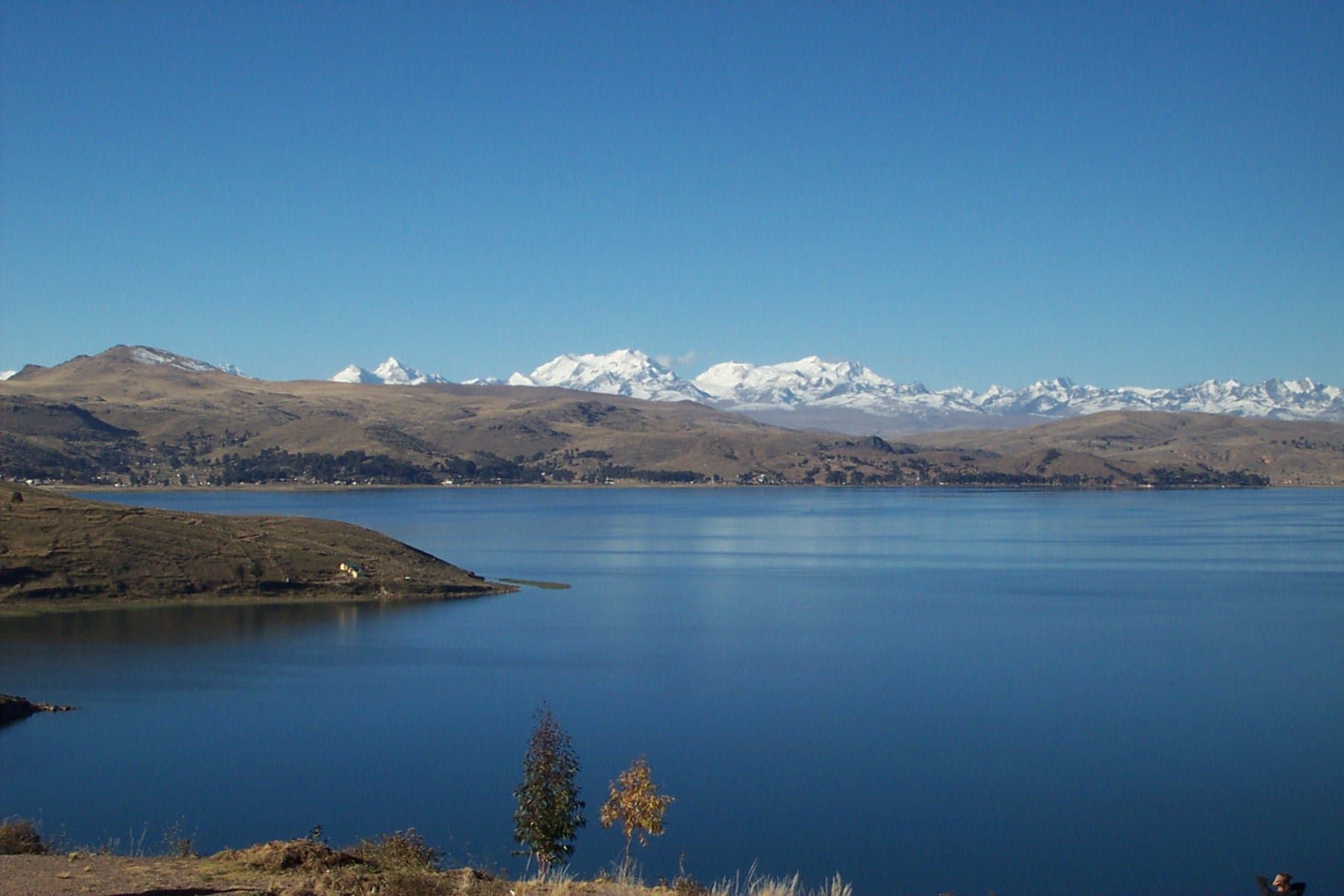
Ch’iyar Juqhu rises sharply in Bolivia’s Cordillera Real, its dark rock faces contrasting with the snowfields and glacial lakes that surround it. The mountain’s Aymara name translates to “black peak,” reflecting the dark schist and andesite that dominate its slopes. At 5,539 meters, it offers hikers and climbers sweeping views across the La Paz Department toward Illimani and the distant Altiplano, while the surrounding puna grasslands and high valleys support hardy wildlife such as vicuñas and Andean condors.

Reaching the Mountain

Access begins in La Paz, where travelers take a public bus or private transfer north along the road toward Sorata or Achacachi. From trailheads near the villages of Chojñacota or Warawarani, a full day’s hike or mule-supported approach leads to base camps at around 4,800 meters. The route passes through traditional Aymara communities where quinoa fields and llama herds are common sights. Four-wheel-drive vehicles can shorten the approach on rough mining tracks, but most visitors continue on foot to respect the fragile highland terrain.

Climbing and Hiking Options

The normal route follows a southwest ridge that mixes straightforward scrambling with sections of loose scree. Experienced mountaineers often combine the ascent with nearby peaks for multi-day traverses. For those seeking less technical outings, the lower slopes provide excellent acclimatization hikes past turquoise glacial tarns and ancient Inca-era trails still used by local herders. Photography is rewarding at sunrise when the peak’s dark profile catches the first light against the Cordillera’s white summits.

Best Time to Visit

The dry season from May through October brings stable weather and clearer skies, ideal for summit attempts. Afternoon thunderstorms are rare then, though nights remain freezing. The wetter months of December to March increase avalanche risk and obscure trails with snow, making them suitable only for well-equipped winter mountaineers.

Nearby Places Worth Exploring

After descending, many travelers continue to the colonial town of Sorata for hot springs and fruit orchards, or head south to the Sajama National Park for even higher volcanoes. Cultural stops in Achacachi offer insight into Aymara festivals and textile markets that complement the natural focus of a Ch’iyar Juqhu trip.

Visitor tips

  • Acclimatize for several days in La Paz or nearby villages above 3,500 meters before attempting the summit to reduce altitude sickness risk.
  • Hire a local guide or join an organized trek from La Paz operators, as the route involves route-finding on unmarked highland trails.
  • Pack layers for extreme temperature swings and bring enough water; streams are scarce above 4,500 meters.

Frequently asked questions

How high is Ch'iyar Juqhu?+

The summit reaches 5,539 meters, placing it among the notable but non-technical peaks of Bolivia's Cordillera Real.

Do I need technical climbing skills?+

The standard route involves hiking and some scrambling on loose rock; no ropes or ice axes are usually required in dry season, though a guide is strongly recommended.

How many days does a typical trip take?+

Most visitors plan three to five days including travel from La Paz, acclimatization, the ascent, and return.

Is Ch'iyar Juqhu suitable for first-time high-altitude visitors?+

Only with prior acclimatization and a conservative pace; many choose easier nearby hikes first to test their response to altitude.

What wildlife might I see?+

Vicuu00f1as, vizcachas, and occasional condors inhabit the puna slopes; llamas and alpacas graze near the lower trailheads.

Share
Google Maps Apple Maps Directions

Image: Mhwater · Public domain · via Wikimedia Commons

Keep reading

Nearby & related

All stories
La Paz River: Rafting and Canyon Adventures in Bolivia
La Paz Department

La Paz River: Rafting and Canyon Adventures in Bolivia

Follow the La Paz River through Andean canyons from the highlands into the Yungas for rafting, scenery, and cultural…

13 October 2026
L
La Paz Department

Leque River: Bolivia’s Andean Waterway in La Paz Department

Follow the clear waters of the Leque River through rugged valleys and quiet Aymara communities in Bolivia’s La Paz…

13 October 2026
B
La Paz Department

Boopi River: Bolivia’s Wild Waterway in La Paz Department

A biodiverse river valley offering jungle hikes, wildlife viewing, and authentic Amazonian experiences near La Paz.

13 October 2026