Why Visit Chacaltaya
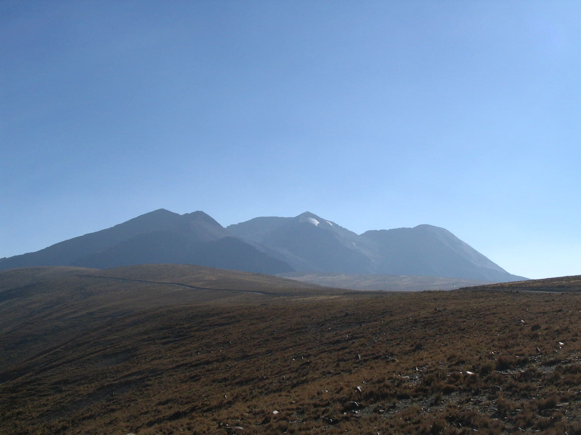
At 5,300 meters, Chacaltaya rises above the Altiplano with unobstructed panoramas of Illimani, Huayna Potosi, and the distant Lake Titicaca basin. The mountain once hosted the world’s highest ski area; the glacier has retreated, leaving the old lift pylons and a short summit trail that rewards hikers with 360-degree Andean vistas. The site serves as an accessible acclimatization stop before higher climbs and delivers a clear sense of the harsh, windswept Bolivian highlands.
Getting There
Most visitors reach Chacaltaya on a half-day tour or private transfer from La Paz, traveling first through the sprawling city of El Alto then along a winding unpaved road that climbs steadily. The route passes llama herds and offers increasing views of snow-capped peaks. Independent drivers should use a high-clearance vehicle and check road conditions after rain. The final approach ends at a small parking area beside the ruined ski lodge.
What to See and Do
The main activity is the straightforward hike from the parking area to the summit cross, taking roughly 45 minutes for fit walkers. Along the way, rusted ski-lift towers and scattered glacial moraine illustrate recent climate change. Photographers favor the ridge just below the summit for unobstructed shots of the Cordillera Real. Some visitors combine the trip with a stop at nearby Milluni Lake or the colorful mining cemetery at Milluni village for additional context on the region’s history.
Best Time to Visit
The dry season from May to October brings clearer skies and more stable weather, though strong afternoon winds are common at this elevation. November through April can deliver dramatic thunderstorms and slippery snow, making the road and trail more demanding. Early morning departures from La Paz reduce the chance of afternoon cloud cover over the peaks.
Nearby Attractions
Chacaltaya sits on the edge of the Yungas road network; travelers often continue downhill toward Coroico or combine the outing with a visit to the Valle de la Luna rock formations south of La Paz. The mountain also serves as a logical first acclimatization point before attempting Huayna Potosi or Condoriri.