Skip to content
Plan & Tour
DestinationsItinerariesTravel BlogAboutContact
0Sign inPlan a trip
Plan & TourPlan & Tour

Travel guides, destination inspiration and curated itineraries for Canada, the USA and beyond, plus a free tool to plan your own day-by-day trip.

Get travel inspiration

Explore

  • All Destinations
  • Curated Itineraries
  • Travel Blog
  • Plan a Trip

Topics

  • Hiking & Nature
  • Food & Drink
  • City Breaks
  • Budget Travel

Company

  • About Us
  • Contact
  • Privacy Policy
  • Terms of Service

© 2026 Plan & Tour. Built for travellers.

Discover the world, one trip at a time.

Calzada: Trekking Bolivia’s Dramatic Andean Summit Near La Paz
  1. Home
  2. Destinations
  3. La Paz Department
  4. Calzada: Trekking Bolivia’s Dramatic Andean Summit Near La Paz
Mountain

Calzada: Trekking Bolivia’s Dramatic Andean Summit Near La Paz

A remote, high-altitude peak in the Cordillera Real offering serious hikers sweeping views and quiet trails.

La Paz DepartmentUpdated 12 October 2026

Why Calzada Stands Out

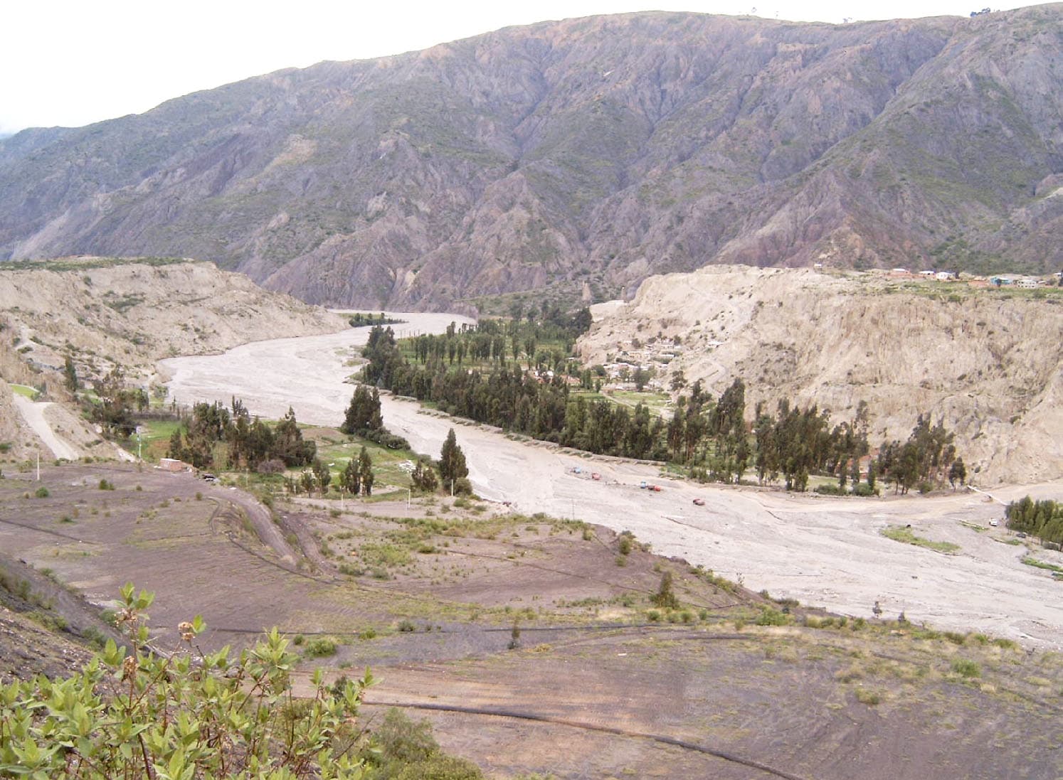
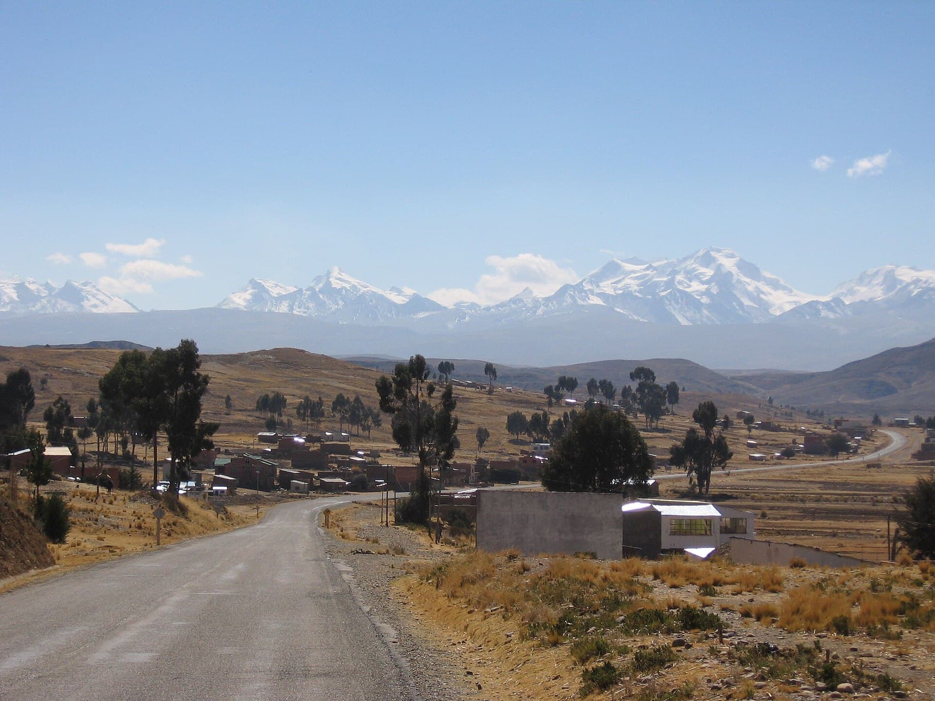
Calzada rises sharply from the valleys northwest of La Paz, its rocky flanks and snow patches marking one of the more accessible high summits in the Cordillera Real. Unlike the crowded trails around Illimani or Huayna Potosí, this mountain delivers solitude, clear sightlines across the altiplano, and a genuine sense of scale without requiring technical climbing skills for most routes.

How to Reach the Mountain

Start in La Paz and travel by shared minibus or private transfer to the town of Sorata, roughly three hours northwest. From Sorata, local transport or a hired vehicle continues to the hamlet of Lakathiya or the trailhead at approximately 4,200 m. The final approach follows an old mining road that turns into a well-defined footpath climbing through eucalyptus and then open puna grassland toward the base of the peak.

Best Time to Visit

The most reliable weather window runs from May through October, when skies are clear and precipitation is minimal. Early morning starts are essential year-round to avoid afternoon cloud build-up and strong winds that often develop above 5,000 m.

Trails and Activities

The standard non-technical route ascends the southwest ridge, gaining roughly 1,400 m over 6–8 hours from the trailhead. Hikers pass ancient stone corrals, cross small streams, and skirt glacial moraines before reaching the broad summit plateau. Those seeking longer outings can link Calzada with neighboring peaks via multi-day traverses that descend into the San Francisco valley. Photographers find excellent vantage points for sunrise over the distant Illampu massif and the shimmering surface of Lake Titicaca to the west.

Nearby Attractions

  • The colonial streets and Saturday market of Sorata offer a convenient base with basic lodging and supplies.
  • Day hikes to the nearby peaks of Illampu and Ancohuma provide additional high-altitude options without extra travel.
  • The pre-Inca ruins at Iskanwaya lie a short detour south, adding cultural context to any mountain itinerary.

Practical Considerations

Altitude acclimatization in La Paz or Sorata for at least two nights is strongly advised. Local Aymara guides from Sorata can be arranged through community tourism associations and provide route knowledge plus pack animals for heavier loads. Carry layers for rapid temperature swings and sufficient water; reliable springs exist on the lower slopes but become scarce higher up.

Visitor tips

  • Acclimatize in La Paz or Sorata for 48 hours before attempting the summit to reduce altitude sickness risk.
  • Hire a local guide in Sorata for route-finding and emergency support; community associations maintain current trail conditions.
  • Pack for four-season weather in one day: bring windproof layers, sun protection, and at least three liters of water per person.

Frequently asked questions

How difficult is the hike to Calzadau2019s summit?+

The standard southwest ridge is strenuous due to altitude and elevation gain but does not require technical climbing gear or experience for fit, acclimatized hikers.

Do I need a permit to climb Calzada?+

No formal permit is required, though registering your itinerary with a local guide or Sorata tourism office is recommended for safety.

What is the best base for climbing Calzada?+

Sorata serves as the most practical base, offering lodging, food, and easy access to trailheads by vehicle or foot.

Can I combine Calzada with other peaks in one trip?+

Yes, multi-day traverses linking Calzada with Illampu or Ancohuma are popular among experienced trekkers and can be arranged through local operators.

Is Calzada suitable for beginners?+

Only for beginners who are already well acclimatized to high altitude; first-time high-mountain visitors should consider guided lower peaks first.

Share
Google Maps Apple Maps Directions

Image: Bgabel · Public domain · via Wikimedia Commons

Keep reading

Nearby & related

All stories
La Paz River: Rafting and Canyon Adventures in Bolivia
La Paz Department

La Paz River: Rafting and Canyon Adventures in Bolivia

Follow the La Paz River through Andean canyons from the highlands into the Yungas for rafting, scenery, and cultural…

13 October 2026
L
La Paz Department

Leque River: Bolivia’s Andean Waterway in La Paz Department

Follow the clear waters of the Leque River through rugged valleys and quiet Aymara communities in Bolivia’s La Paz…

13 October 2026
B
La Paz Department

Boopi River: Bolivia’s Wild Waterway in La Paz Department

A biodiverse river valley offering jungle hikes, wildlife viewing, and authentic Amazonian experiences near La Paz.

13 October 2026