Why Visit Burnt Hill
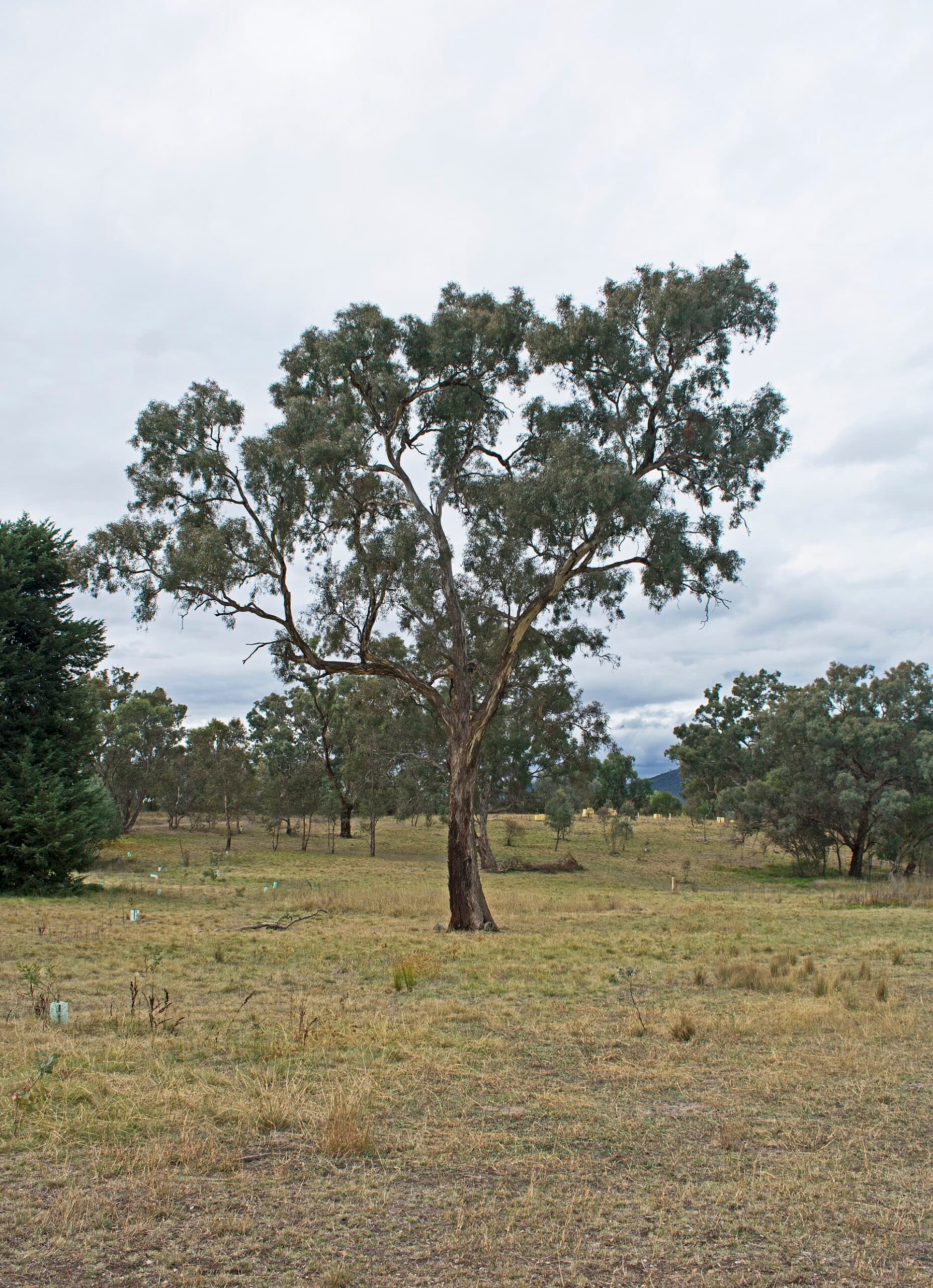
Burnt Hill rises in the northern Brindabella Range within Namadgi National Park, offering hikers a relatively accessible summit with expansive views across the Cotter catchment and distant Canberra skyline. The mountain’s open eucalypt woodland and rocky outcrops support spring wildflowers and resident wedge-tailed eagles, making it a quiet alternative to busier ACT peaks.
Getting There
From Canberra, take the Cotter Road west, then follow Brindabella Road south for approximately 25 kilometres to the signed trailhead near the Mount Franklin area. The final stretch is unsealed but suitable for two-wheel-drive vehicles in dry conditions; four-wheel drive is recommended after rain. Park at the small gravel area and begin the walk on the marked management trail that leads directly toward the summit.
The Hike
The out-and-back route covers roughly 8 kilometres with 350 metres of elevation gain. The track climbs steadily through peppermint gum forest before emerging onto the rocky summit plateau. Allow three to four hours return, including time to explore the granite tors at the top. Navigation is straightforward on the main trail, but carry a topographic map for side explorations.
Best Time to Visit
Autumn (March–May) and spring (September–November) deliver mild daytime temperatures and fewer insects. Summer hikes are possible early in the morning, while winter visits bring crisp air and occasional snow on higher ridges—carry micro-spikes if venturing after cold fronts. Wildflowers peak from October to November, and bird activity is highest at dawn.
What to See and Do
At the summit, panoramic views stretch west over the rugged Brindabellas and east toward the Tidbinbilla Range. Photographers favour the golden light at sunrise or sunset. Keep an eye out for eastern grey kangaroos grazing in the open valleys below and for the distinctive call of the superb lyrebird in the gullies. Nearby, the Mount Franklin walking track offers an extension for those wanting a longer day out.
Nearby Attractions
Combine the visit with a stop at the Cotter Dam visitor centre or the historic Bendora Arboretum. The Corin Forest area, 15 minutes farther south, provides additional short walks and mountain-biking trails. For a full weekend, continue to the Yankee Hat rock-art site in southern Namadgi National Park.