
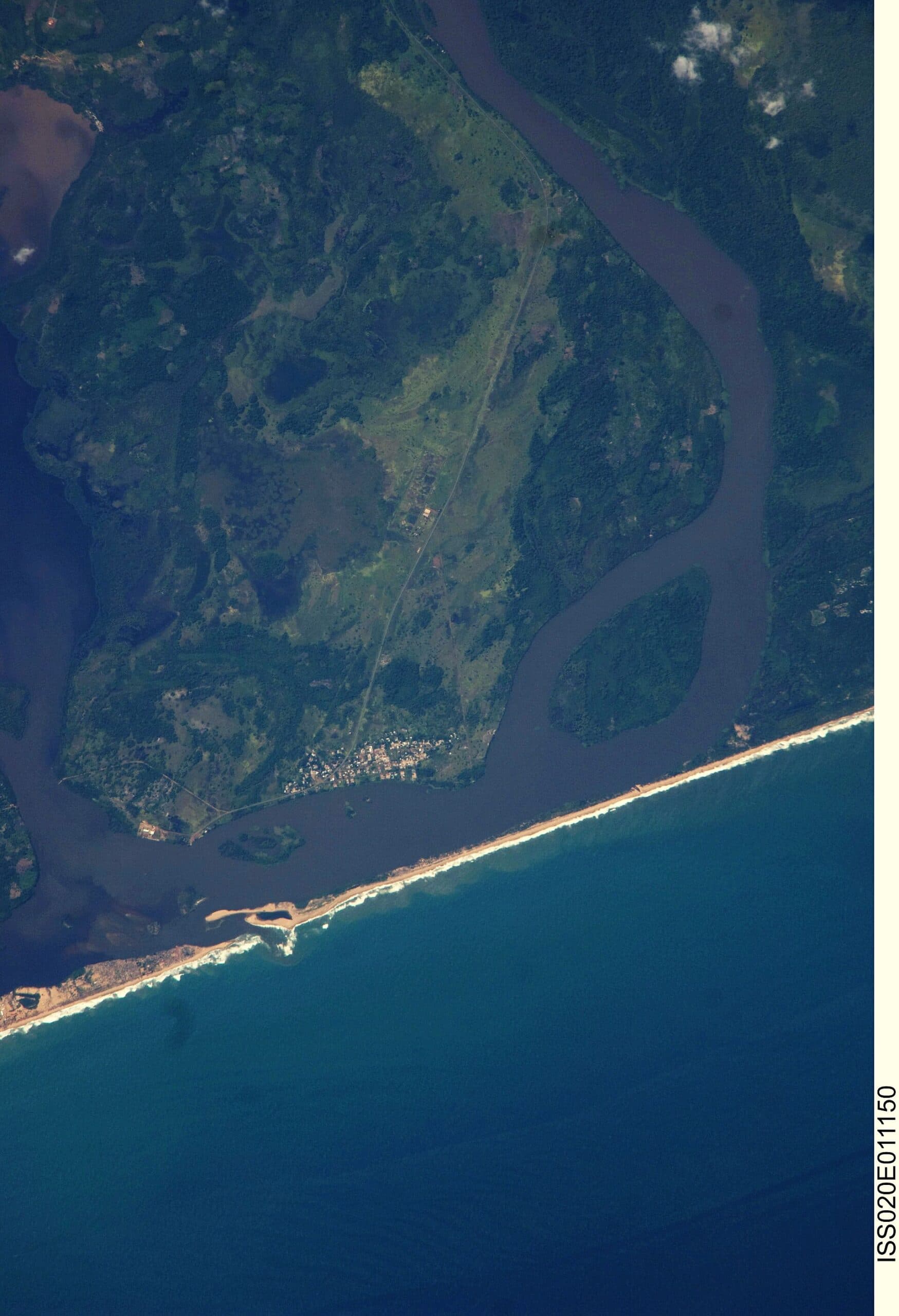
Bandama River: Hiking the Volcanic Heart of Gran Canaria’s Bandama Caldera
Discover the quiet river valley inside one of Gran Canaria’s most striking volcanic craters.
Why Bandama Caldera and Its River Matter
The Bandama River drains the fertile floor of Caldera de Bandama, a near-perfect volcanic crater on the northeastern edge of Gran Canaria. Formed by an eruption roughly 2,000 years ago, the caldera creates a sheltered microclimate where the small seasonal river supports palms, fruit trees and endemic flora that contrast sharply with the surrounding arid slopes.
Getting There
Drive the GC-15 from Las Palmas or take the bus to the Bandama viewpoint (Mirador de Bandama). From the parking area a well-marked path descends the crater rim to the valley floor where the river runs. Allow 45 minutes down and a little longer on the return climb.
Best Time to Visit
Winter and early spring bring reliable water flow and comfortable temperatures. Summer visits are possible but expect dry riverbeds and stronger sun inside the crater bowl.
Walking Routes and Highlights
- Crater floor loop: follow the river for 2 km past abandoned banana terraces and small springs.
- Rim-to-river trail: steep but rewarding descent with panoramic views of the entire 1 km-wide caldera.
- Combine with nearby Montaña de Arucas for a full-day outing.
Practical Information
Carry water, wear sturdy shoes, and check weather before descending; the crater can trap heat. No facilities exist inside the caldera, so plan accordingly. The area is part of the protected landscape of Las Palmas, so stay on marked paths.
Visitor tips
- Start early to avoid midday heat inside the crater.
- Wear grippy shoes; the descent involves loose volcanic gravel.
- Bring binoculars for birdlife along the river corridor.
Frequently asked questions
Is there swimming in the Bandama River?
The river is shallow and seasonal; swimming is not practical or permitted.
How long does the hike to the river take?
The round-trip from the mirador parking area takes about two hours for most visitors.
Are there guided tours available?
Local hiking companies in Las Palmas occasionally run small-group walks; check with tourist offices in advance.
Can I drive to the river itself?
No vehicles are allowed inside the caldera; access is on foot only.
What should I bring for a day visit?
Sun protection, at least 1.5 litres of water per person, and a light jacket for the windy rim.