Atlin Lake: British Columbia’s Vast Northern Wilderness
Remote, glacier-fed waters and rugged peaks define this pristine lake on the Yukon border.
Why Atlin Lake Rewards Visitors
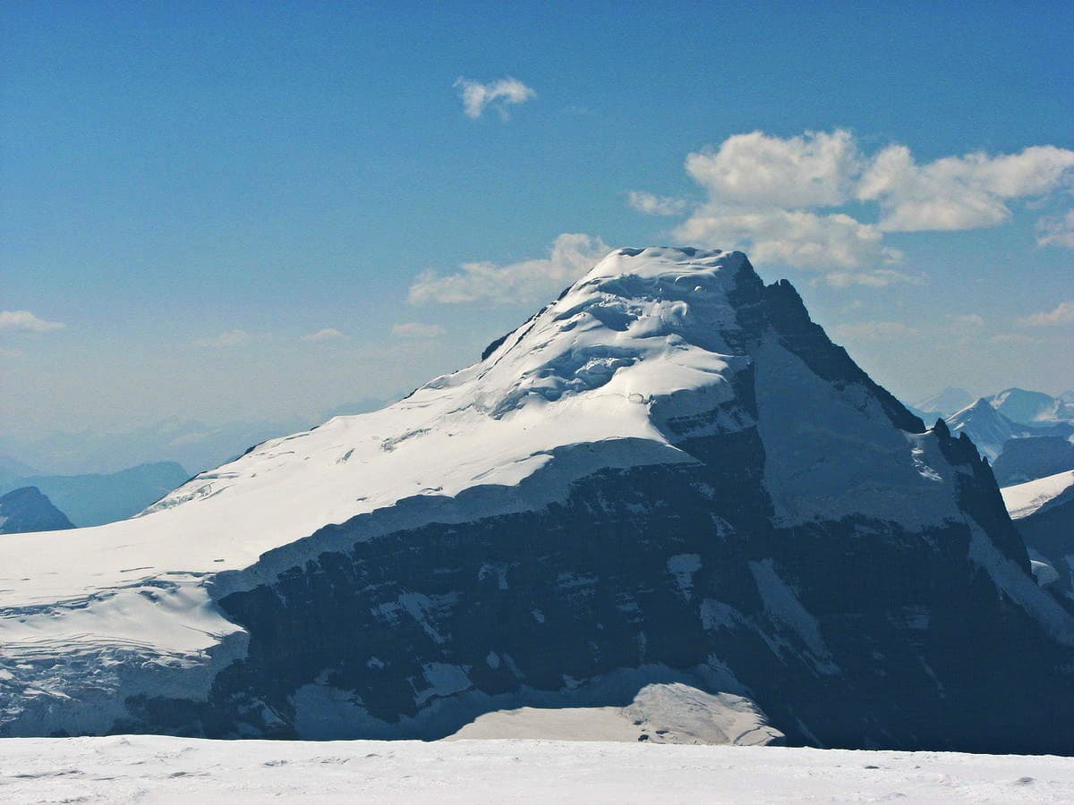
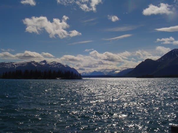
Atlin Lake stretches more than 100 kilometres through northwestern British Columbia, its deep turquoise waters ringed by the jagged peaks of the Atlin Range and the Juneau Icefield. The lake’s scale and isolation create a sense of true wilderness that few other accessible lakes in the province can match. Clear days reveal snow-capped summits reflected on the surface, while the surrounding boreal forest supports moose, bears, and abundant birdlife.
Things to See and Do
Boating and paddling are the primary ways to experience the lake’s size. Motorboats, kayaks, and canoes allow exploration of sheltered bays and small islands where bald eagles nest. Anglers target lake trout, northern pike, and Arctic grayling in the clear, cold water. Shoreline hiking trails lead to viewpoints above the lake and into Atlin Provincial Park, where wildflower meadows bloom briefly in summer. In winter the frozen surface becomes a corridor for snowmobiling and cross-country skiing, and the northern latitude offers frequent displays of the aurora borealis.
Wildlife and Scenery
Early morning or evening drives along the lakeshore road often yield sightings of caribou or black bears. The surrounding mountains contain active glaciers that feed the lake, creating striking turquoise hues near river inflows. Short hikes to Warm Bay or the old mining sites around Surprise Mountain provide historical context without requiring technical skills.
Getting There
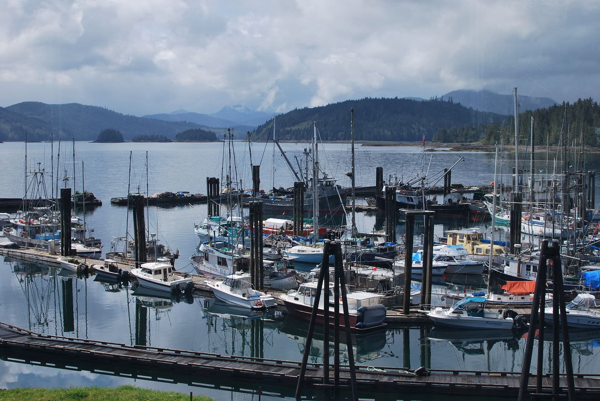
The lake lies roughly 200 kilometres south of Whitehorse, Yukon. Most travellers fly into Whitehorse, then drive the Alaska Highway south to Jake’s Corner before turning onto the Atlin Road. The final 98-kilometre stretch is paved but remote, with limited services. Fuel, food, and lodging are available in the small community of Atlin at the lake’s north end. Floatplane charters from Whitehorse or Atlin offer scenic access for those short on time.
Best Time to Visit
July and August bring the longest days, warmest temperatures, and easiest road access, making them ideal for boating and hiking. September offers fewer insects and excellent fishing before freeze-up. Winter visitors from November to March enjoy solitude, ice travel, and northern lights, though daylight is short and the road requires winter tires or chains.
Nearby Attractions
The historic gold-rush town of Atlin sits directly on the lakeshore and features preserved wooden buildings and a small museum. A short drive south reaches the warm springs at Warm Bay. Further afield, the Yukon’s Carcross Desert and Emerald Lake provide contrasting landscapes within a day’s drive. The entire region forms part of the traditional territory of the Taku River Tlingit First Nation, whose cultural presence remains visible in place names and community events.
Visitor tips
- Carry extra fuel, food, and a satellite communicator; cell coverage is absent along much of the Atlin Road.
- Pack layers for rapid weather changes and insect repellent from June through August.
- Practice strict bear-aware habits: store food properly and make noise on trails.
Frequently asked questions
How large is Atlin Lake?
It is the largest natural lake entirely within British Columbia, measuring approximately 140 km in length with a surface area of 538 square kilometres.
Is Atlin Lake good for fishing?
Yes. The lake supports healthy populations of lake trout, northern pike, and grayling; a British Columbia fishing licence is required.
Can I camp along the lake?
Several provincial park campgrounds and informal shoreline sites exist; backcountry camping is permitted with Leave No Trace practices.
Are there boat rentals available?
Local operators in the town of Atlin rent motorboats and kayaks during the summer season; reservations are recommended.
What should I know about winter travel?
The road can close after heavy snow; ice fishing and snowmobiling are popular once the lake freezes solidly, usually by late November.