Pend Oreille River: Scenic Paddling and Wildlife Along British Columbia’s Remote Waterway
Discover quiet fishing holes, forested canyons, and easy access points on this lesser-known river in the Kootenays.
Why Visit the Pend Oreille River
The Pend Oreille River carves a gentle path through southeastern British Columbia’s Selkirk Mountains, offering clear water, abundant trout, and a quiet alternative to busier waterways like the nearby Columbia. Its mix of slow pools and mild riffles suits both novice paddlers and anglers seeking solitude among cedar forests and occasional rocky bluffs.
What to See and Do
Paddling and Boating
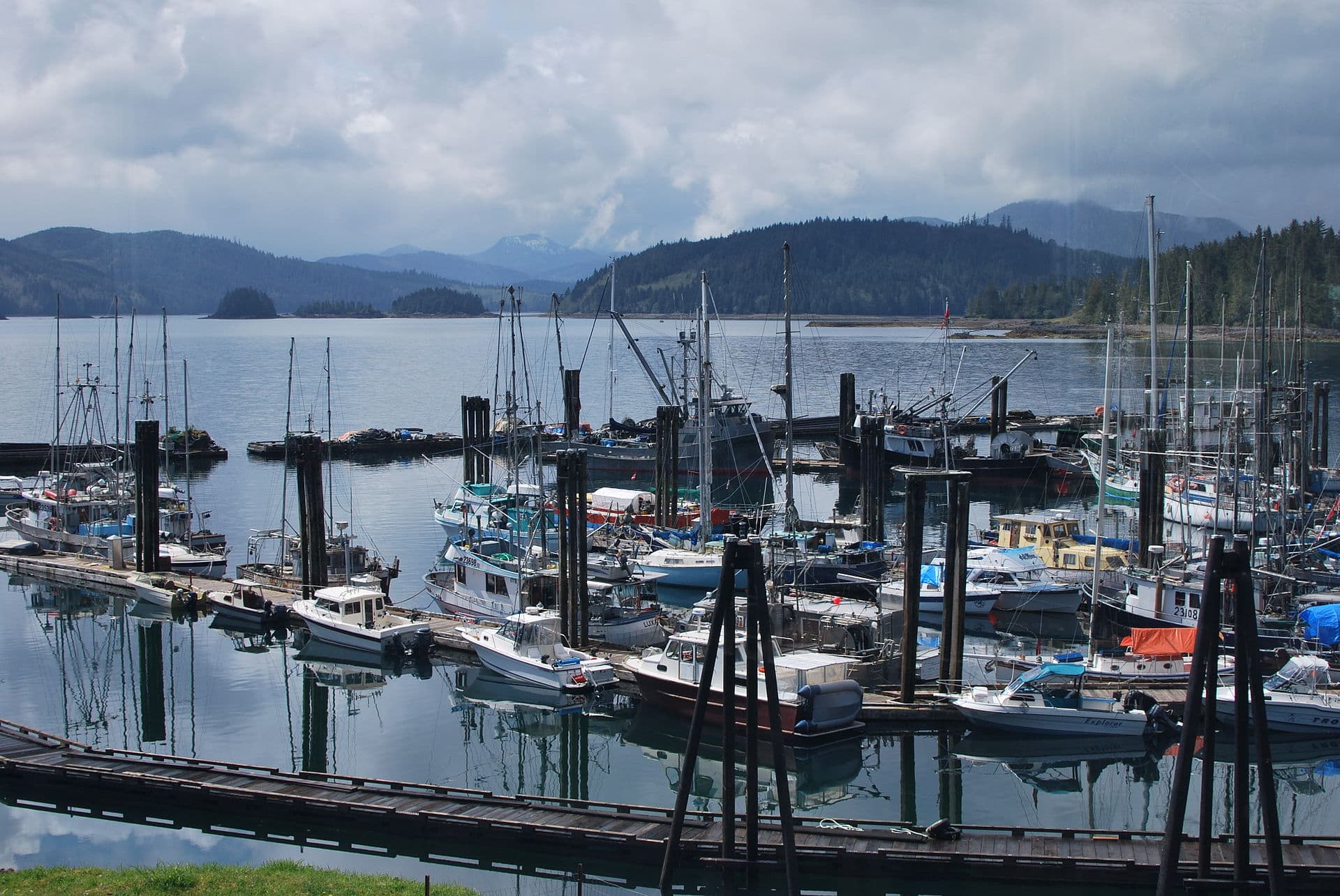
Kayakers and canoeists launch at several roadside pullouts to float sections ranging from two to eight hours. The river’s steady current carries vessels past osprey nests and occasional black bear sightings along the banks. Motorized boats are permitted but rarely crowd the water.
Fishing
Rainbow and cutthroat trout thrive in the cool, oxygenated flows. Shore anglers find success near tributary mouths, while drift-boat users target deeper runs. Always follow catch-and-release guidelines for native species.
Hiking and Wildlife Viewing
Short trails climb from the river to viewpoints overlooking the valley. Early morning visits increase chances of seeing elk, deer, and river otters. Autumn brings vibrant cottonwood and larch colors that reflect on the water surface.
How to Get There
Reach the river via Highway 3 east of Creston or by turning south from the village of Yahk. Gravel forest-service roads provide additional access points; high-clearance vehicles are helpful but not essential in dry seasons. The nearest commercial airport is in Cranbrook, roughly an hour’s drive north.
Best Time to Visit
June through September offers the most reliable water levels for floating and the warmest temperatures for swimming. Spring runoff can make the river swift and cloudy, while October brings fewer visitors and excellent fishing before winter sets in. Winter travel is possible for ice fishing but requires preparation for snow-covered roads.
Nearby Attractions
Combine a river day with visits to Creston’s wetlands for birdwatching or the historic town of Nelson for dining and galleries. The Kootenay Pass area provides alpine hiking within a short drive, and the international border crossing at Porthill allows easy extension into Idaho’s Lake Pend Oreille region.
Visitor tips
- Check river flow conditions before launching; sudden releases from upstream dams can raise levels quickly.
- Pack layers and rain gearu2014the mountain climate changes rapidly even on sunny days.
- Carry bear spray and know how to store food properly when camping along the banks.
Frequently asked questions
Is the Pend Oreille River suitable for beginners to paddle?
Yes, many sections feature gentle currents ideal for first-time kayakers or canoeists, though life jackets and basic river-reading skills remain essential.
What kind of fish can I expect to catch?
Rainbow trout and cutthroat trout are the primary species; some sections also hold mountain whitefish and occasional bull trout.
Are there established campgrounds right on the river?
Several informal and provincial recreation sites offer riverside camping, though facilities are basic and reservations are not accepted.
Do I need a fishing license?
A valid British Columbia fishing license is required; non-residents can purchase one online or at local tackle shops.
How far is the river from major towns in the Kootenays?
The main accessible stretches lie within a one-hour drive of Creston and about two hours from Nelson or Cranbrook.