Mount Meager: Hiking and Geothermal Exploration in British Columbia’s Coast Mountains
A practical guide to reaching, exploring, and safely enjoying this remote volcanic massif north of Pemberton.
Introduction to Mount Meager
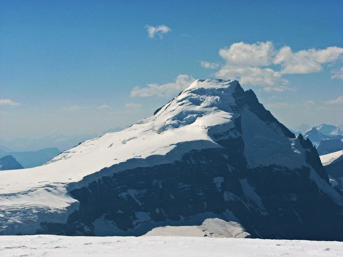
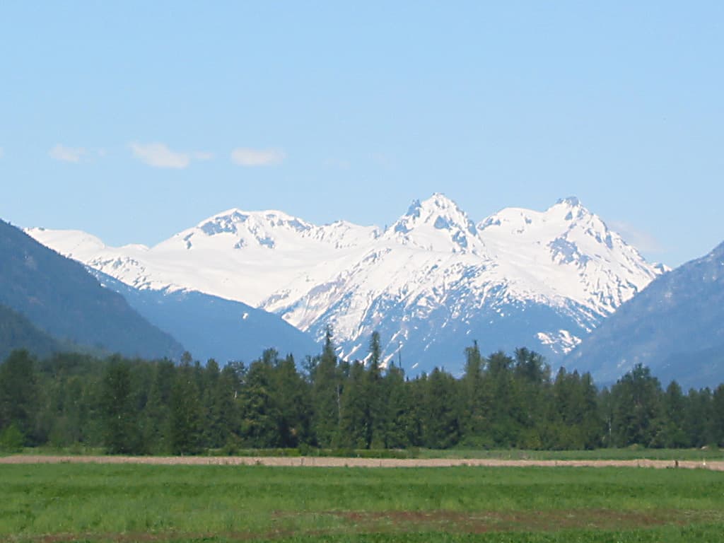
Mount Meager is the highest peak in the Mount Meager Volcanic Complex, a cluster of eroded stratovolcanoes in the Garibaldi Volcanic Belt. At 2,680 metres, it offers experienced hikers and climbers dramatic subalpine meadows, glacier-carved valleys, and visible geothermal features that set it apart from nearby non-volcanic peaks.
Access and Getting There
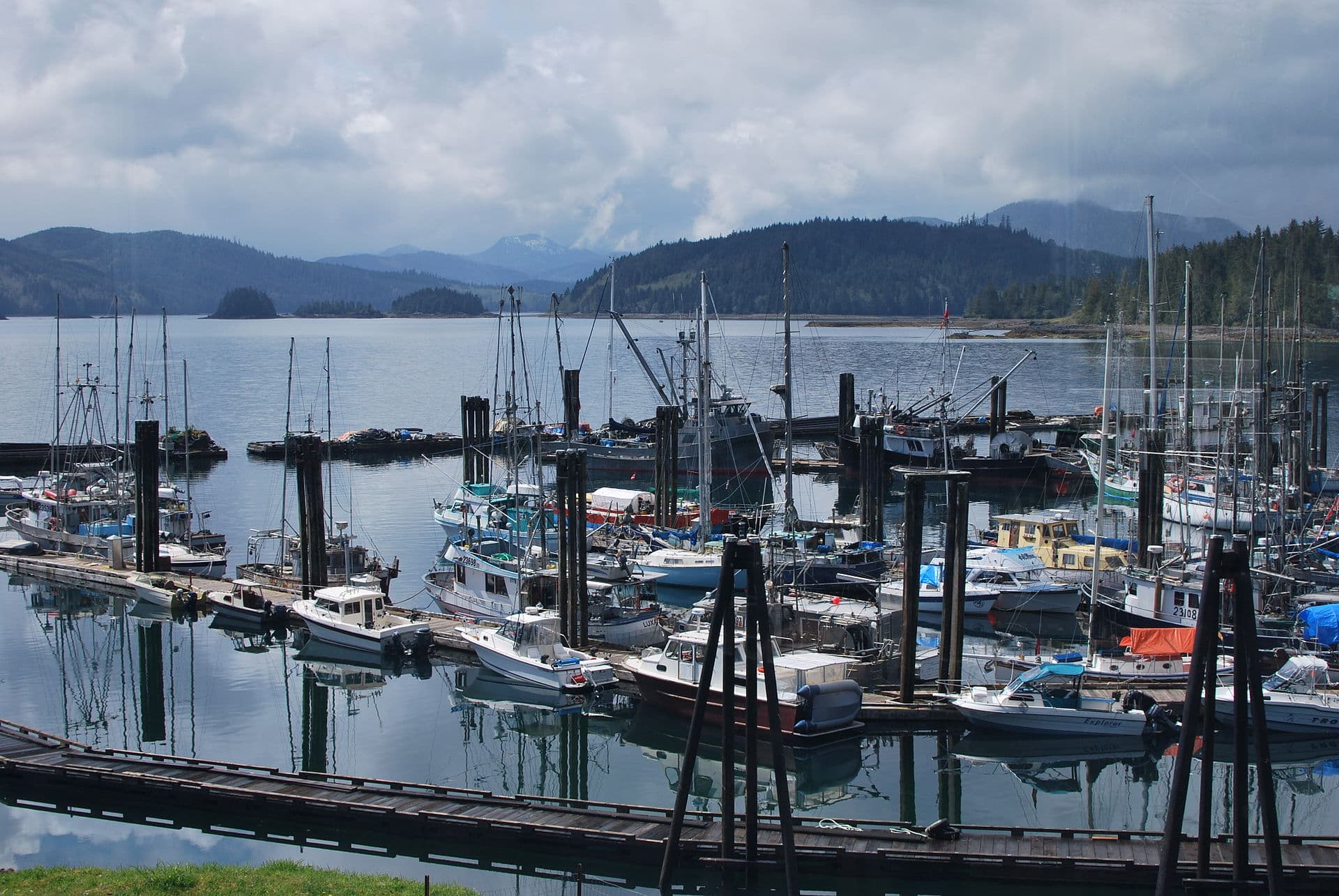
The mountain lies roughly 60 kilometres northwest of Pemberton. Most visitors drive the paved Sea-to-Sky Highway to Pemberton, then continue on well-maintained forestry roads (Upper Lillooet Forest Service Road and Meager Creek Road). High-clearance vehicles are strongly recommended; the final 20 kilometres are gravel and can be rough after heavy rain. There is no public transit; a private vehicle or arranged shuttle from Pemberton is required.
Best Time to Visit
The optimal window is mid-July through late September when snow has melted from lower routes and forestry roads are generally passable. Early season offers wildflower meadows; late season provides more stable rock for scrambling but shorter days. Winter travel is possible only with avalanche training, skis or snowmobiles, and is not recommended for first-time visitors.
Activities on the Mountain
Hiking and Scrambling
The standard approach follows the Meager Creek trail to the lower flanks, then gains the ridge toward Plinth Peak or the main summit. Expect 8–12 hours round-trip from the trailhead for fit parties. Route-finding is necessary above treeline; GPS or good map and compass skills are essential.
Geothermal Features
Lower Meager Creek contains natural hot springs that remain accessible year-round. Visitors can soak in several rock-lined pools ranging from 38 °C to 42 °C. Respect posted closures after heavy rain, as flash floods can occur. The area also features fumaroles and warm ground that illustrate ongoing volcanic heat.
Nearby Destinations
After a visit to Mount Meager, many travellers continue to the Lillooet River valley for additional hot springs or combine the trip with a night in Whistler or Pemberton. The complex is also visible from viewpoints along the Hurley River Forest Service Road, offering easier photography options for those not attempting the summit.
Visitor tips
- Carry extra fuel, a full-size spare tire, and a satellite communicator; cell coverage ends well before the trailhead.
- Check current forestry road conditions with the local district office or Pemberton visitor centre before departure, as washouts can close access for days.
- Treat all water from streams near geothermal areas; natural minerals and occasional bacterial contamination are possible.
Frequently asked questions
Do I need a permit to hike Mount Meager?
No permit is currently required for hiking or camping on the mountain, but overnight stays in the Meager Creek recreation site require a valid British Columbia backcountry permit.
Are the hot springs at Mount Meager clothing-optional?
The lower pools are traditionally clothing-optional, but visitors should be respectful of all users and keep the site clean.
How difficult is the scramble to the summit?
The route involves class 3 scrambling on loose volcanic rock and requires route-finding experience; it is not suitable for beginners or casual hikers.
Is Mount Meager still volcanically active?
The complex shows ongoing geothermal activity and is classified as potentially active, though no eruption has occurred in historic times.
Can I bring my dog to the hot springs or trails?
Dogs are permitted on most trails but must be leashed near the hot springs to protect water quality and other visitors.